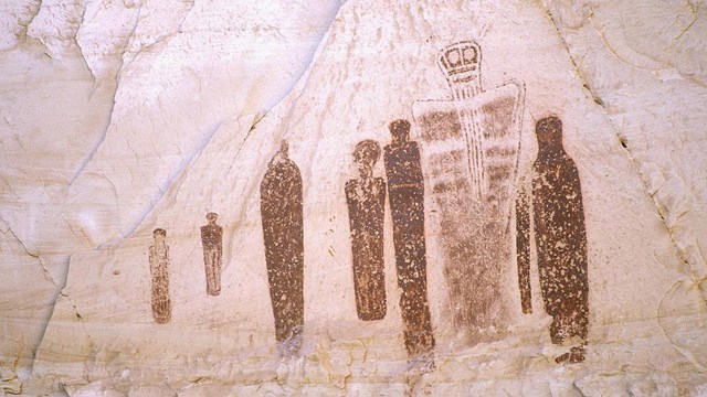
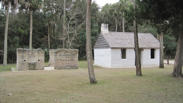
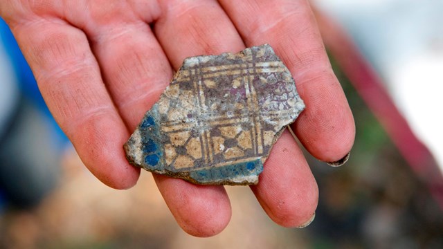
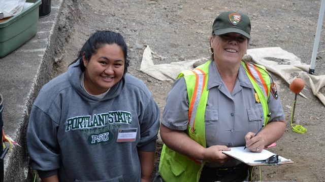
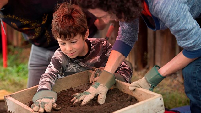
State Submerged Resources > Northern Mariana Islands
Northern Mariana Islands
Located along the Marianas Trench in the North Pacific Ocean, the Commonwealth of the Northern Mariana Islands is a 300 mile long archipelago consisting of 14 islands with a total land area of about 184 square miles. The northern islands are volcanic in nature while the southern islands are raised limestone fringed by coral reefs. The three main islands are Rota, Saipan, and Tinian.
What is the Commonwealth’s maritime heritage?
The Northern Mariana Islands were settled over 3,500 years ago by ocean-going people who probably came from Southeast Asia via the Philippines. The first European to visit these islands was Ferdinand Magellan, who claimed nearby Guam for Spain and landed on Rota during his circumnavigation of the world in 1521. Due to a cultural misunderstanding, the native Chamorros launched an attack and drove Magellan from the islands. Eventually, the islands were conquered and governed for more than 300 years as part of the Spanish East Indies. Almost all of the native people died out under Spanish rule, but new immigrants arrived from the Philippines and Carolines.
Spain sold the islands to Germany in 1899, and Japan took over the islands in 1914, making the islands a military garrison. During World War II, the United States took the islands from Japan and following the war, administered the islands as part of the United Nations Trust Territory of the Pacific Islands. The Northern Mariana Islands established closer links with the United States, seeking territorial status in 1972, and formed a commonwealth in a political union with the United States in 1975.
What sites are underwater?
More than four dozen documented ship losses have occurred in the waters of the Northern Mariana Islands. Two of the earliest known losses are the Manila galleons Santa Margarita in 1601 and Nuestra Senora de la Concepcion in 1635. Six other ships are reported to have been lost during the Spanish colonial period. The majority of shipwrecks are from World War II.
Due to their strategic location about three-quarters of the way from Hawaii to the Philippines, taking control of the Northern Mariana Islands was crucial to the success of the United States in the Pacific Theater during World War II. As a result, the waters of the Northern Mariana Islands are littered with more than 40 sunken warships, auxiliaries, airplanes, tanks, and other military related debris. Some historic sites of note at the three major islands include the following:
Rota:
The Japanese freighter Shoun Maru and several Japanese auxiliary
submarine chasers lie in the waters off the island of Rota. Two Chinese
ships used for smuggling were confiscated by the U.S. Coast Guard off the
coast of Guam and sunk off Rota in Sasanjaya Bay as artificial reefs.
Saipan:
Three of the largest shipwrecks in waters around Saipan are the Japanese
freighters Chinsen and Shoan Maru, and a concrete supply barge
known as the Cement Wreck. Other sunken ships, barges, landing craft, planes,
tanks, and guns also lie on the bottom including Tanapag Harbor which contains
an estimated 18 sunken Japanese ships, a sunken Japanese seaplane, a multi-engine
bomber, a submarine chaser, a zero fighter, and landing craft.
Tinian:
Many World War II artifacts including Japanese tanks, trucks, planes, and
ammunition were dumped into the ocean off the northwest side of the island
of Tinian.
Who takes care of Northern Mariana Islands’ underwater archeological sites?
The Division of Historic Preservation in the Department of Community and Cultural Affairs is responsible for the archeological resources of the Commonwealth.
What permits do I need to study shipwrecks?
You must have a permit to remove or take any artifact of historical or cultural significance or to knowingly destroy, remove, disturb, displace or disfigure any cultural or historic property on public or private land or in the water surrounding the Commonwealth of the Northern Mariana Islands. The Historic Preservation Office may issue permits after the permit application has been reviewed by the Review Board. Permits are only issued when the Historic Preservation Office, in consultation with the Division of Environmental Quality and the Coastal Resources Management Program Office, believes doing so will not damage historic properties.
What laws concern underwater archeology in the Northern Mariana Islands?
The Commonwealth Historic Preservation Act of 1982, Public Law 3-39, declares that the public policy of the Northern Marianas Commonwealth Government is to promote and preserve historic and cultural properties in the Commonwealth.