|
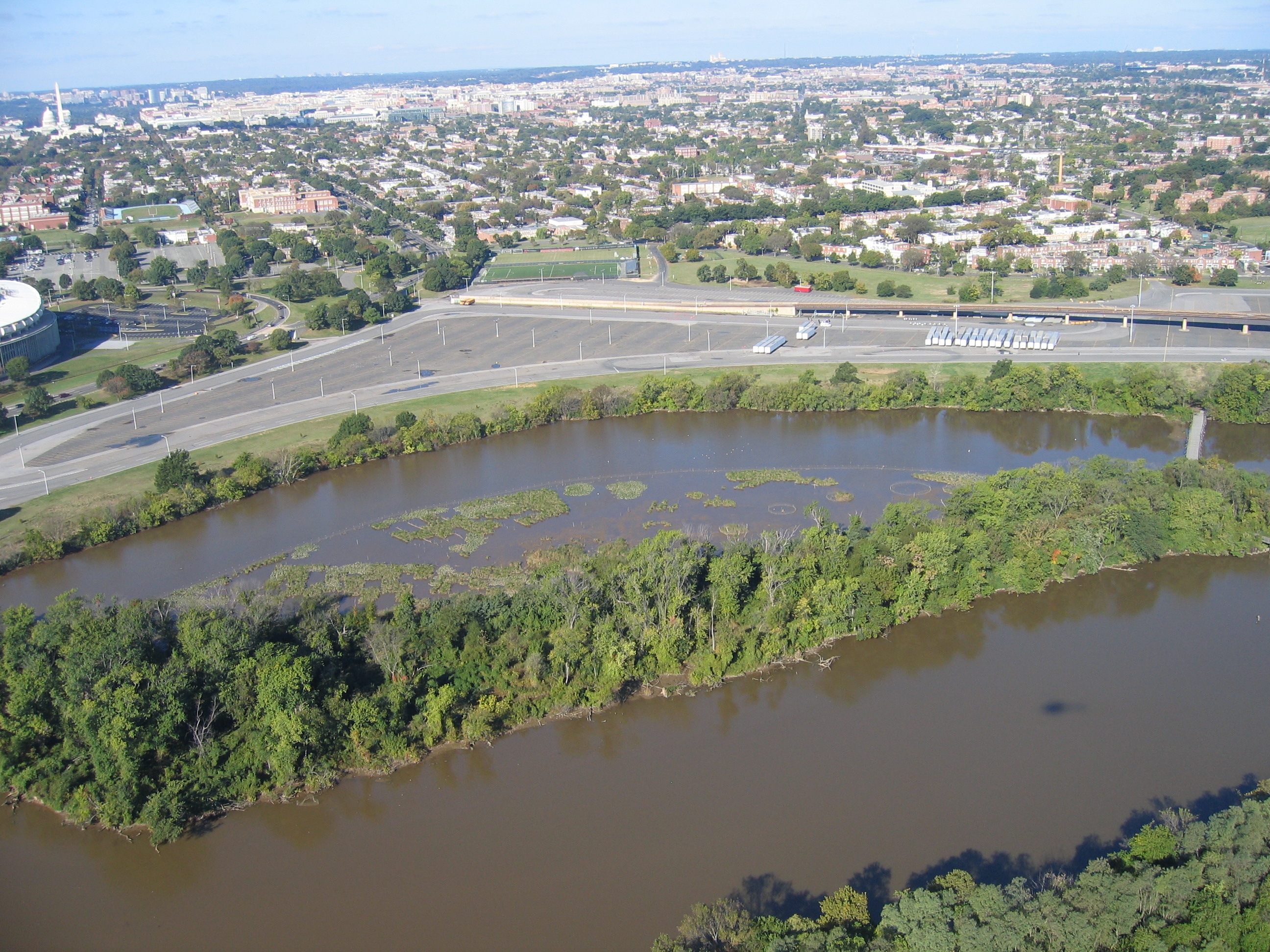
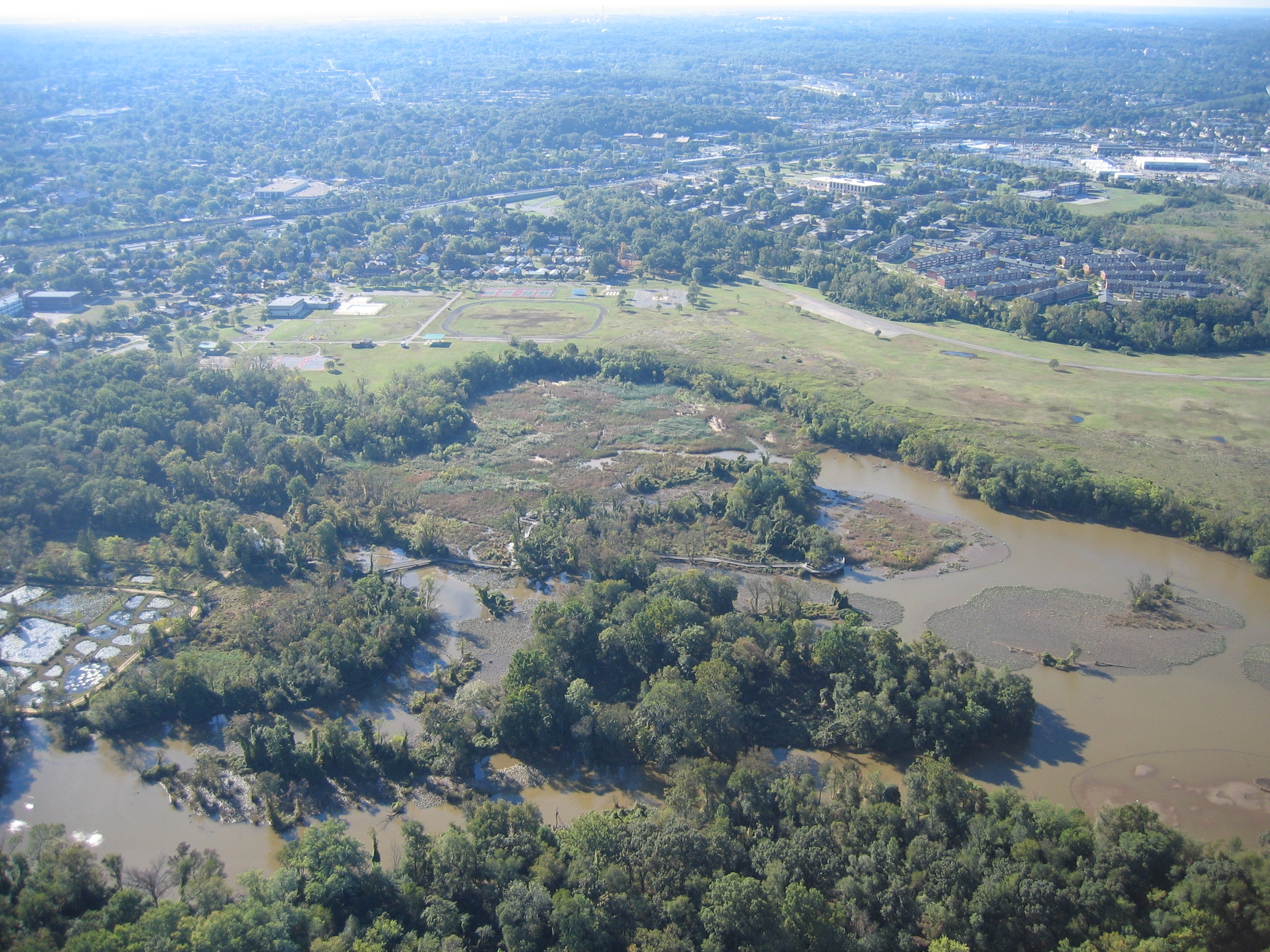
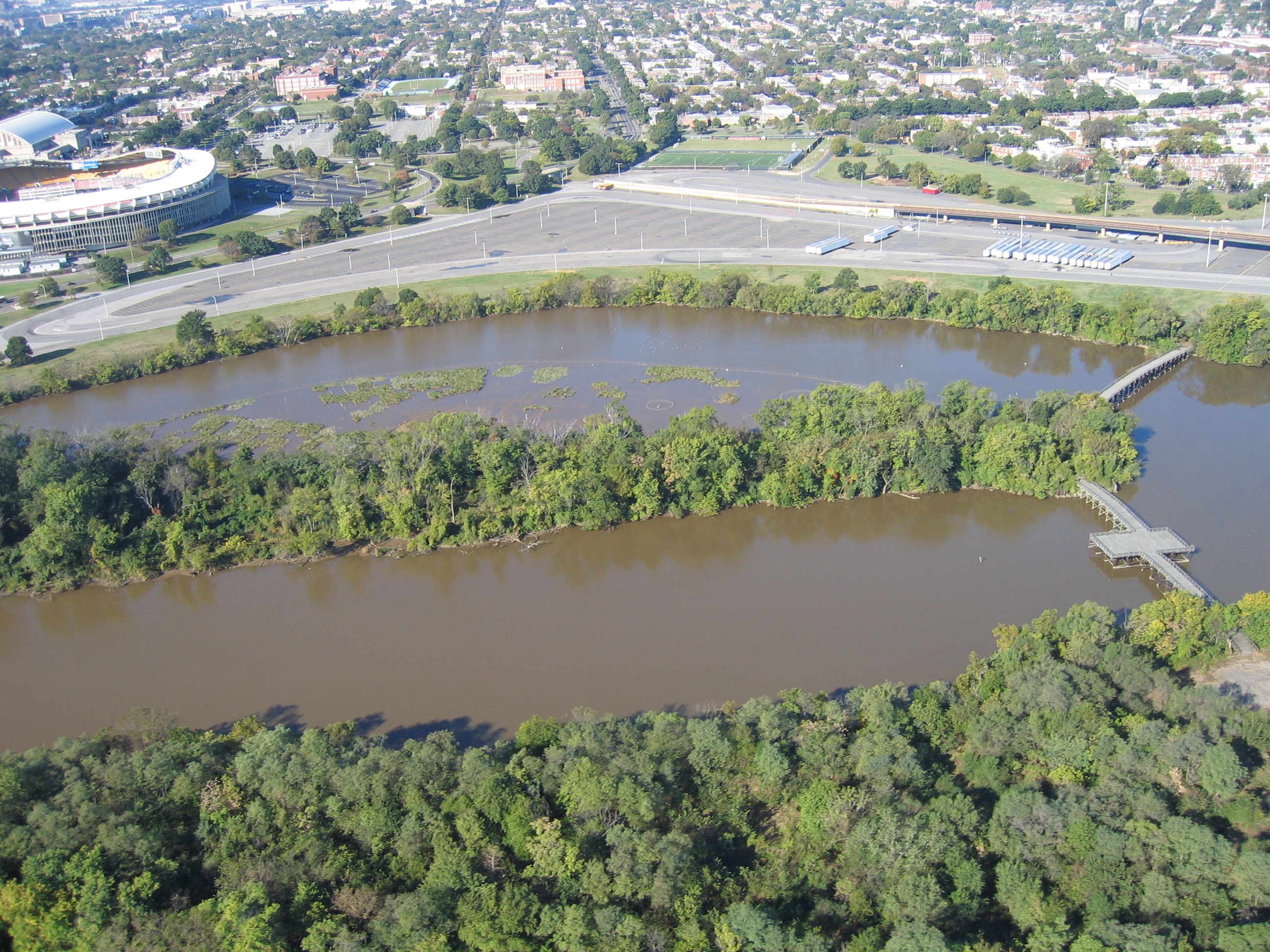
Soil began washing into the Anacostia River as people cut trees for fuel during the Industrial Revolution. The erosion of soil filled the river with mud where deep water and fish used to be. In the early 1900s Congress authorized the Corps of Army Engineers to dredge the river. To do so, they needed a place to dump the soil from the bottom of the river and used the remaining wetlands. Wetlands that use to clean the water and absorbed flood waters were filled in. The sea wall along the river below Benning Road is from that era. The dry land created was used for grazing, a garbage dump, and recreation. No one knew what to do with it as it still flooded regularly. In the 1920s it was made park land to protect the scenery and water quality and provide a place for people to play. In the 1960s a Georgia professor, Dr. Odum, showed the value of wetlands to society which reversed a national policy of wetland destruction. Today, we are rebuilding wetlands north of Benning Road and saving those that exist. This makes Anacostia Park a strip of nature in a large area of hard, human made surfaces. This may or may not have an impact on the long term temperature of the air, the humidity, and wind speeds. We know it impacts how much water soaks into the ground. If the park does show a consistent long term impact we can say it is a microclimate in the metropolitan area. This is what we encourage schools to investigate. Are plants and water combining to keep the area cooler than the rest of the city? Does the open land stay warmer in winter? Does the pervious nature of the ground allow water to go into the ground to reduce flooding? As the nation demands more and more water, is the Anacostia Park saving water for our needs? If sea levels rise, will the basin of Anacostia Park be enough to absorb that rise and protect the rest of the area from flooding? Using the photos here and a street map of Washington, DC determine if the surfaces along the river are going to allow rain to go directly into the ground or are they going to shed rain and snow into storm drains or other hard surfaces. The more open areas, the more likely rain or melting snow will seep slowly into the ground to recharge the underground waters supply.
Click here for photo 1, photo 2, photo 3, photo 4 The height of land a block from the park is 7 feet above regular low tide. The difference between high and low tide is about 3 feet on average but it varies through the year depending on the moon and amount of water in the streams that feed the Anacostia River. Look at the tide chart at http://www.saltwatertides.com/dynamic.dir/potomacsites.html and click on Anacostia River. and track tide heights for the months of March, June, September, and December. Average the tide for each of these months by adding all the tide heights for each month and dividing by the number of high tides in the month. Is there a difference between the four months? Average the 4 averages together for an estimate of the yearly average. How would a one foot rise in water levels impact the area a block from the park in each of the 4 months? |
Last updated: April 10, 2015