|
Hike offerings, descriptions, and dates are listed below. The hikes take place on Saturdays at 2:00 p.m. Reservations are required. The hikes take place rain or shine. Participants are encouraged to wear good walking shoes and bring water. For additional information, including the meeting location details and to make a reservation, please call the Visitor Center at 814-886-6150. 
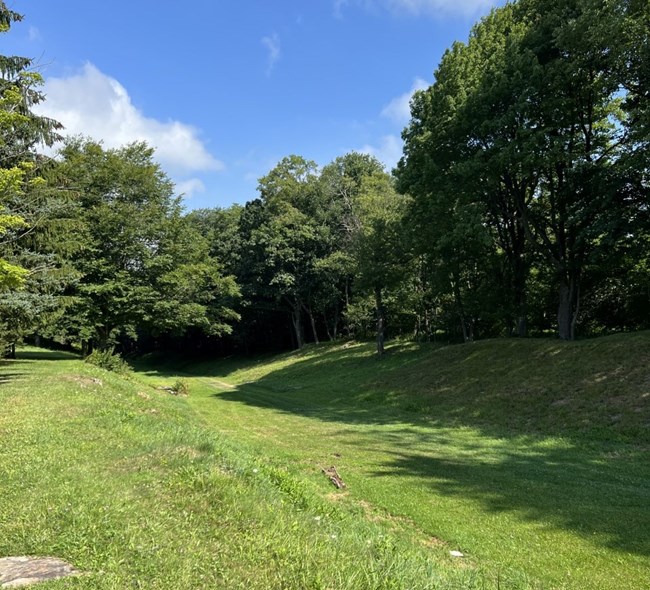
NPS Summit LevelThe Summit Level hike is approximately 3 miles in length from the head of Inclined Plane 6 to near where the Summit Hotel was in Summitville, near the head of Inclined Plane 5. The Summit Level was the highest point that the Allegheny Portage Railroad crossed the Allegheny Mountains. Participants will learn about the inclines and levels of the railroad, how the system functioned, the town of Summitville, and much more. 
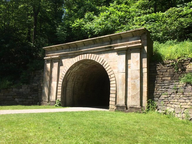
NPS Staple Bend TunnelThis hike takes participants to the first railroad tunnel in America, the Staple Bend Tunnel. On this approximately 5-mile round trip hike, participants will learn about the history of the tunnel, how it was constructed, the Allegheny Portage Railroad, and much more! Several features from the days of the railroad, including stone sleepers and culverts, are visible. |
Last updated: January 20, 2026
