NPS Photo 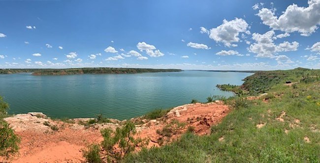
NPS Photo Geology of the Canadian River ValleyLake Meredith National Recreation Area and Alibates Flint Quarries National Monument sit in the heart of the Texas Panhandle, nestled within the striking Canadian River Breaks. Over millions of years, natural erosion has sculpted an intricate terrain of canyons, mesas, and winding draws, contrasting against the surrounding plains. This dynamic landscape holds a rich geological history, revealing nearly 300 million years of transformation and change. 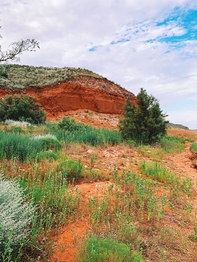
NPS Photo Permian Period:The geological formations of Lake Meredith and Alibates trace their origins back nearly 300 million years to the Permian Period, a time of significant climatic shifts that shaped a diverse array of rock and mineral deposits. Around 260 million years ago, striking red and white rock layers were formed, marking a period when the Texas Panhandle lay near the equator as part of the vast supercontinent Pangaea. Composed of sandstones, siltstones, and mudstones interspersed with gypsum and dolomite, these formations—known as Permian red beds—are distinguished by their deep red and burnt-orange hues. The sediments also contained substantial quantities of salt and other minerals, accumulating near the ancient sea that once stretched northward from the south. 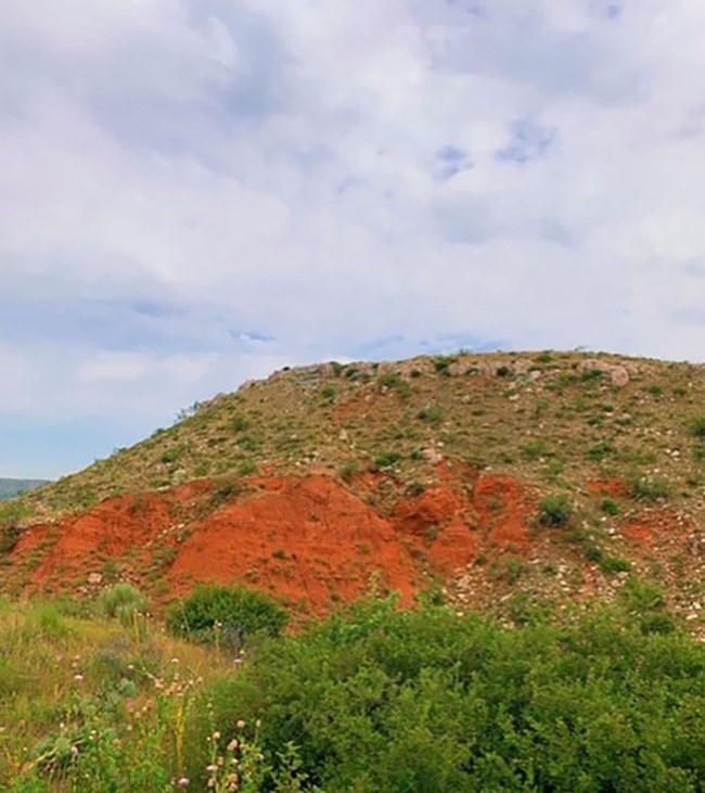
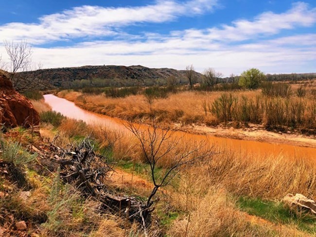
NPS Photo Red BedsDuring colder periods, expanding polar ice caps caused water levels to recede, elevating this region above sea level. Rivers and streams once dominated the Texas Panhandle, carving winding paths across the landscape. As their energy diminished, they left behind extensive deposits of shale, sandstone, and mudstone.The Permian red beds, the oldest exposed rock formations in the Panhandle, stretch across a vast portion of the Great Plains, from southern Kansas through Oklahoma and Texas into New Mexico and Arizona. These formations also appear along the eastern edge of the Rocky Mountains, extending as far north as the Black Hills of South Dakota.Their distinct red coloration results from metallic minerals within the rock that have oxidized over time, creating a rusted hue. Much like layers in a cake, the oldest geological deposits rest at the bottom, with progressively younger layers forming above. In the Canadian River Breaks, this foundational geologic sequence is prominently visible along the canyon walls and valley floor. 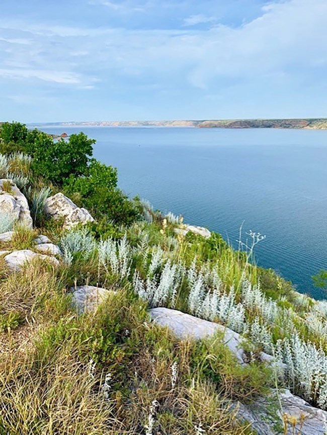
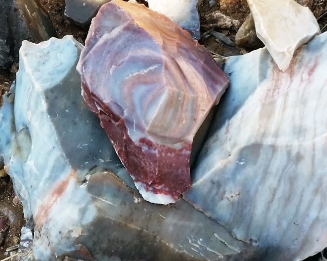
NPS Photo DolomiteDuring the late Permian Age, around 260 million years ago, global temperatures began to rise, melting ice in the polar regions and causing sea levels to rise. As a result, this region was submerged beneath the ocean, a transition visible in the thin layer of Alibates Dolomite—a gray-colored rock found atop mesas throughout both parks. Dolomite formed in shallow seas from organic materials such as plankton, shelled animals, algae, and corals. This ancient sea once stretched from the Arctic Ocean near Alaska, covering vast parts of Canada and the United States before connecting with the Pacific Ocean in Mexico. Fossilized remnants of these organisms remain preserved within the dolomite. Its durability allowed it to resist erosion over time. Serving as a natural “caprock,” the dolomite helped protect the softer red beds beneath it, shaping the rugged mesas seen today in Lake Meredith and Alibates Flint Quarries. As the underlying rock erodes, the dolomite eventually fractures, forming distinctive white boulders scattered along the slopes of the mesas. 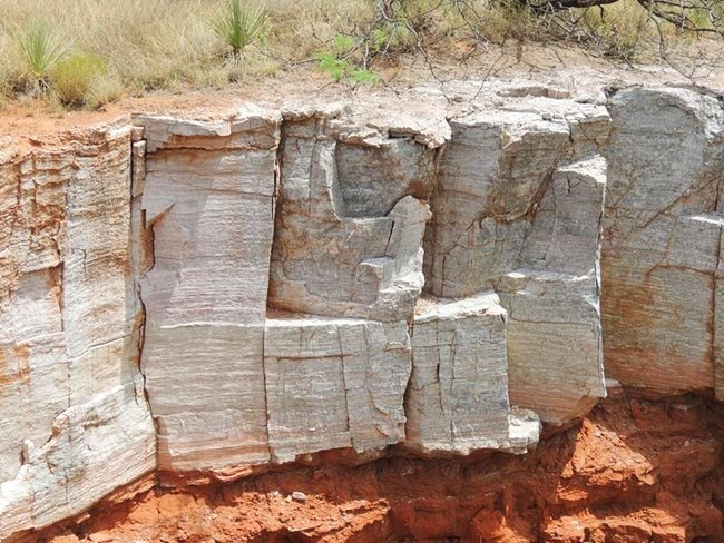
Gypsum at Lake Meredith GypsumThroughout the Permian Period, sea levels fluctuated as the climate shifted, sometimes exposing low-lying basins as water receded during colder phases. Trapped saltwater in these basins gradually evaporated, leaving behind salt and organic material that, over time, formed gypsum deposits within the Permian red beds. Gypsum outcrops can be seen today at Dolomite Point and Plum Creek. When water flows over these gypsum layers, it dissolves the embedded salt, carrying it downstream—one of the reasons the Canadian River has a distinct salty taste, influenced by gypsum deposits in Texas and New Mexico. As these gypsum beds dissolve, the overlying rock can weaken and collapse, forming chimneys and depressions across the landscape. One such chimney can be observed near Dolomite Point at Lake Meredith National Recreation Area. 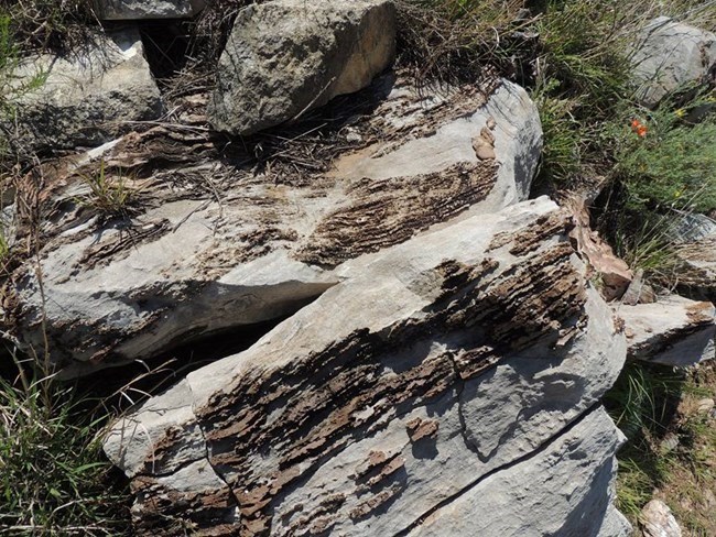
NPS Photo Fossils and Petrified WoodFossils provide invaluable insights into Earth's ancient environments, helping geologists reconstruct conditions from millions of years ago. Within the dolomite layers, thin bands of fossilized algae are visible. Since algae require sunlight for photosynthesis, scientists deduce that the saltwater where the dolomite formed must have been relatively shallow to sustain these organisms. Another significant clue comes from fossilized coral polyps, which also indicate a shallow marine habitat. Additionally, petrified wood is scattered along the Canadian River in the southwestern section of Lake Meredith National Recreation Area. This ancient wood, embedded within Triassic rock formations, has been linked to petrified specimens from the Chinle Formation at Petrified Forest National Park in Arizona, further connecting the geological histories of these distant landscapes. Missing HistoryIn most areas of Lake Meredith and Alibates Flint Quarries, rocks dating from the end of the Permian Period to around 12 million years ago are missing. Across various sites in the United States, 550-million-year-old rock layers rest directly atop formations that are nearly 3 billion years old, with no trace of the intervening periods. This puzzling gap in the geologic record is known as the Great Unconformity—a mystery that has led some geologists to speculate that a massive cataclysmic event reshaped Earth's surface, erasing evidence of entire geological epochs. At Lake Meredith and Alibates Flint Quarries, rock layers deposited during the Permian Period were later stripped away by erosion, leaving a significant gap in the area's geologic history. Despite this missing record, traces of the Triassic Period can still be found in the southwest section of Lake Meredith, where exposed rock layers provide insight into Earth's ancient past. Additionally, Ogallala Formation rocks can be seen near Cedar Canyon, offering a glimpse into a more recent chapter of geological evolution. 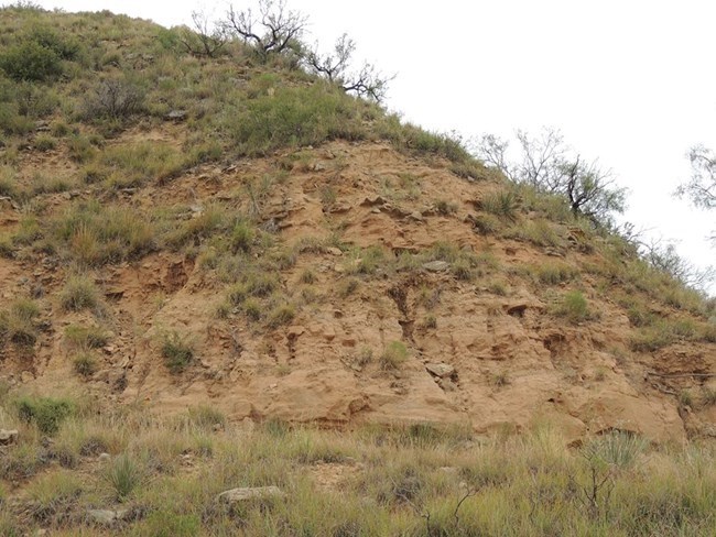
NPS Photo Pliocene Epoch:
Some of the youngest rock formations in both parks belong to the Ogallala Formation, characterized by rounded river rocks and sediments varying in size from fine sand grains to larger, hand-sized stones. Originating in the Rocky Mountains of Colorado and New Mexico, this formation once spread across the Great Plains, reaching from central Texas to southern South Dakota. Over time, these sediments filled valleys and blanketed mesas, creating a substantial geological layer that, in some areas beyond the park, accumulated to thicknesses exceeding 500 feet. |
Last updated: June 14, 2025

