|
Please check the Superintendents Compendium page for additional restrictions and laws. If you have specific concern or question about a closure please call 307-739-3399. 
Seasonal Closures
For details and specifics, please see Superintendents Compendium. These areas are temporarily closed for the safety of visitors and wildlife:Batxer's PinnacleClosure start date: 5/17/2024The Baxter’s Pinnacle climbing route, approach trail, and surrounding cliffs. This closes the Baxter’s Pinnacle climbing route to human traffic as well as the social trail that branches from the horse trail and serves as the approach route to the climb. The southeast extent of the closure begins at 520281E, 4846277N (NAD83), approximately 350 m up the horse trail from the Jenny Lake trail, and 20 m to the north of the horse trail proper. The south boundary of the closure runs parallel along the horse trail, (maintaining the 20-m buffer) for another 350 m to its southwest boundary at 519993E, 4846261N. The west boundary extends 450 m to the north, up the cliff face, to its northwest corner at 519960E, 4846703N. The north boundary runs the length of the ridgetop that divides Cascade and Hanging Canyons for 325 m to the northeast extent at 520282E, 4846661N. At this point the east boundary of the closure follows due south, enclosing the cliff features for 275 m to 520318E, 4846387N. The closure ends 120 m southwest of this point at the original starting location. Three RiversClosure start date: 5/13/2024The following area is closed: the Three Rivers area. The closure begins at the Three Rivers twotrack gate (539601E, 4854919N, WGS84) and continues east to 539897E, 4854797N. The closure continues north along the hillside to 540736E, 4856035N before heading west and intersecting the Three Rivers two-track at 540270E, 4856206N. The closure proceeds south along the edge of the ridgeline to 539309E, 4855624N before returning southeast to the Three Rivers two-track gate defined above. Highway 26 east of MoranClosure start date: 5/7/2024The following area is closed: an area along Highway 26 east of Moran Junction. The northwest corner of the closure begins north of Highway 26 at 540405E, 4854015N (WGS84). The closure continues east along the top of the ridge to 541529E, 4854100N. The closure then proceeds southward across Highway 26 to 541515E, 4853972N. The closure then continues southwest along the edge of Game Warden Point to 541084E, 4853489N before returning northwest along the edge of the treeline and then crossing Highway 26 to the starting point defined above. Highway 26 remains open to all thru travel; however, the roadway shoulder is closed to all stopping, parking, and walking associated with wildlife viewing. The osprey pullout and Game Warden Point area are closed to public entry. Pilgrim Creek Alluvial FanClosure start date: 4/9/2024The following area is closed: the Pilgrim Creek alluvial fan between the park’s boundary with the Bridger-Teton National Forest and the Wagon Road. The northeast corner of the closure begins at 535964E, 4864286N (WGS84). The closure continues southward along the eastern edge of the Pilgrim Creek alluvial fan to its intersection with the Bug Canyon Trail at 534764E, 4861959N. The closure then continues southward along the western edge of the Bug Canyon Trail before crossing Highway 89 at 534386E, 4860169N and continuing to the Wagon Road (533767E, 4859113N). The closure then proceeds to the northwest along the northern edge of the Wagon Road to 531383E, 4860876N. The closure then continues northeast, crossing Highway 89 at 531728E, 4861192N, before following the western extent of the Pilgrim Creek alluvial fan to the park’s boundary with the Bridger-Teton National Forest at 535154E, 4864278N. The closure follows the park-forest boundary eastward to the starting point described above. Pilgrim Creek Road is included within the closure and is closed to all public entry. The Bug Canyon Trail and Wagon Road* remain open. Highway 89 and the associated roadway shoulder are exempt from the closure. Colter Bay Dump RoadClosure start date: 4/9/2024The following area is closed: the Colter Bay Dump Road area between Highway 89 and the park’s boundary with the Bridger-Teton National Forest. The northeast corner of the closure begins at 535154E, 4864278N (WGS84) on the park boundary. The closure continues southward along the western edge of the Pilgrim Creek alluvial fan to its intersection with Highway 89 at 531728E, 4861192N. The closure then proceeds west along the shoulder of Highway 89 to Colter Bay Junction (529699E, 4862146N). The closure continues north to the park’s boundary with the Bridger-Teton National Forest at 530484E, 4864253N before returning east to the starting point described above. The Colter Bay Dump Road is included within the closure and is closed to all public entry. Highway 89 and the associated roadway shoulder are exempt from the closure. 
Wolff Ridge Winter Range ClosureAn area encompassing Wolff Ridge and a portion of the Spread Creek drainage is closed to all human entry in Grand Teton National Park through April 30, 2024. This closure is necessary to provide secure wintering habitat for bison and elk. See map (right) for more details. 
Blacktail Butte Thermal Cover/Winter Range ClosureThe northern portion of Blacktail Butte is closed north of the Albright View pullout on Highway 89/191/26 through April 30, 2024. The open slopes on the southwest side of Blacktail Butte and the Practice Rocks climbing area at the northern tip of the butte remain open. The National Park Service has determined that this closure is necessary to protect moose by closing a critical island of winter thermal cover in a sea of sage. See map (right) for more details. 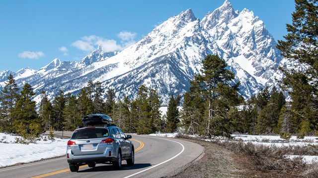
Road Information
Check road conditions and construction updates around the park. 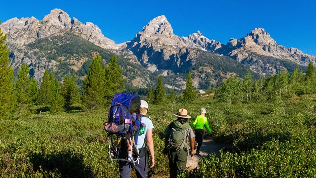
The Mountains are Calling
Grand Teton has a lot to offer whatever your interests. Explore the Plan Your Visit pages to help with your trip planning. |
Last updated: May 17, 2024