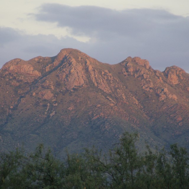
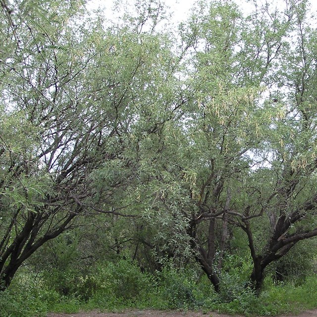
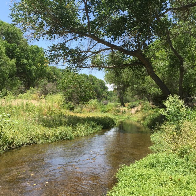
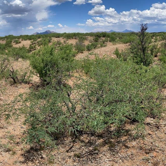
National Park Service LogoU.S. Department of the InteriorNational Park ServiceNational Park Service
National Park Service:  U.S. Department of the InteriorNational Park Service Arrowhead
Tumacácori National Historical ParkSan Cayetano
view map
text size:largestlargernormal
printer friendly
Tumacácori National Historical Park
Natural Features & Ecosystems
Santa Cruz River riparian environment

Photo by Don Garate

Santa Cruz River riparian environment

Cottonwood – Willow Riparian Environment

The Tumacácori Mission unit of Tumacácori NHP protects a mile of the Santa Cruz River and its rare southwest cottonwood-willow riparian (streamside) environment, one of the most endangered ecosystems in the United States. A “riparian” area is the lush corridor of water – loving plants growing along the banks of a river.  These ecosystems are essential habitat for many plants, birds, and other animals which could not otherwise live in the surrounding desert and scrub environments.

 
Mesquite bosque

NPS Photo

Mesquite bosque

Mesquite Bosque Environment

Away from the riverside, the land in Tumacácori is covered with mesquite bosque (forest). Hackberry, ash, and Mexican elderberry mix with mesquite, acacia and palo verde trees near the riparian corridor.

 
Mesquite scrublands

Mesquite scrub environment

Mesquite Scrub

Farther from the river in the hills around Tumacácori, as well as at the Calabazas and Guevavi Mission units, the land is drier. The shade of the lowland mesquite bosque environment gives way to primarily mesquite and acacia, with the addition of cholla and barrel cacti. 

Did You Know?  

Did You Know?
That the Santa Cruz River begins in the Patagonia Mountains of southern Arizona, runs south into Mexico, makes a sweeping turn and continues north through Sonora and Arizona to join the Gila River and eventually the Colorado River which empties into the Gulf of California.

Last Updated: October 01, 2006 at 11:11 EST