|
Where Should I Start? The tale of Tumacácori spans many centuries and weaves a tangled web of cultures across continents. Start poking around in the stories surrounding Tumacácori and there's no telling where you may end up. Tales of woe, tales of joy, tales of labor and leisure. All were lived by real people in this real place. Some are still being uncovered by intrepid detectives of history. Curious? Dive down into the rabbit hole and see where it takes you! 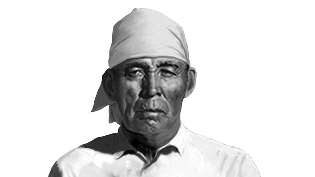
O'odham
The original residents of Tumacácori, this large and diverse tribe occupied lands stretching thousands of square miles. 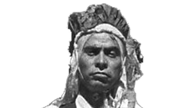
Yaqui (Yoeme)
The Yoeme worked closely with the Spanish and O'odham at Tumacácori and other missions. 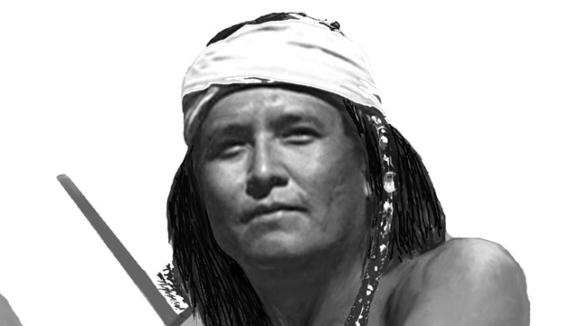
Apache (Inde)
Linguistically related to Athabaskan tribes, the Apache people probably were late arrivals to the cultural landscape of the Pimería Alta. 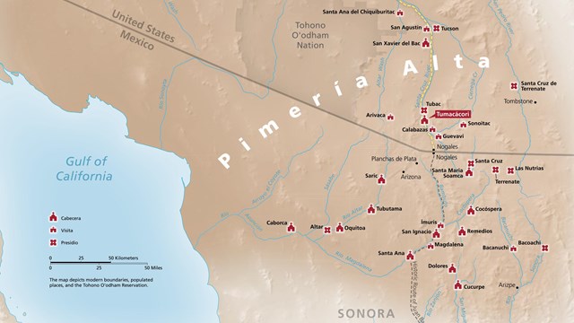
Places
The frontier of Spain's empire included missions, presidios, and ranches. 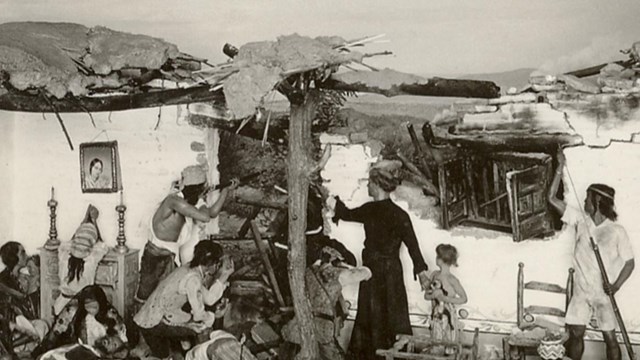
Events
Tumacácori has seen thousands of years of human history. Some moments stand out more than others. 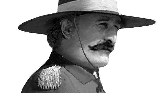
Soldiers and Military
Missions and presidios often came as matched pairs. Soldiers in Spanish uniforms were ever present on the frontier. 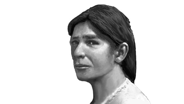
Women
The lives of women were seldom described in official records, but certainly held huge importance for daily life. 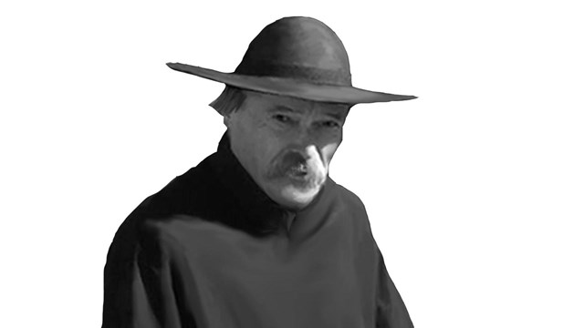
Priests
The Pimería Alta saw a parade of priests, some staying for decades, others who came and went within months. 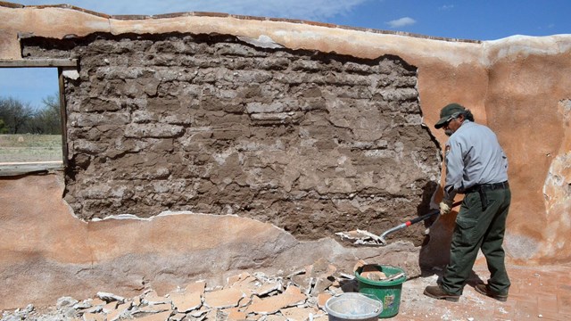
Preservation
Using traditional materials and techniques, the preservation team battles time, gravity, and the environment to keep Tumacácori standing. 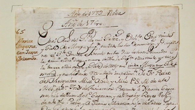
Search Original Mission Records
Search by name, location, event, or other factors to see the original mission records from across the Pimería Alta. |
Last updated: May 6, 2025