Maps


A map depicting trails from southeast US to Oklahoma.

The Trail of Tears National Historic Trail.


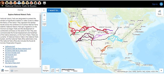
A map of the United States depicting trails from east to west.

GIS Interactive Map

The National Park Service Geographic Resources Program hosts an interactive trails map viewer.
Choose the Trail of the Tears National Historic Trail and then zoom in to find the details you need for trip planning.


Places to Go along the Trail

It highlights different sites that can be visited along the trail. You'll find museums, interpretive centers, and historic sites that provide information and interpretation.

 
TRTE_ContextMap_20091104_lowres_thumbnail

Trail of Tears National Historic Trail Map

The Trail of Tears National Historic Trail passes through the present-day states of Alabama, Arkansas, Georgia, Illinois, Kentucky, Missouri, North Carolina, Oklahoma, and Tennessee.


Ordering Maps

To order maps and brochures, please visit Trail Brochures.

Last updated: July 13, 2021

Park footer

Contact Info

Mailing Address:

National Trails Office Regions 6|7|8
Trail of Tears National Historic Trail
1100 Old Santa Fe Trail

Santa Fe, NM 87505

Contact Us