|
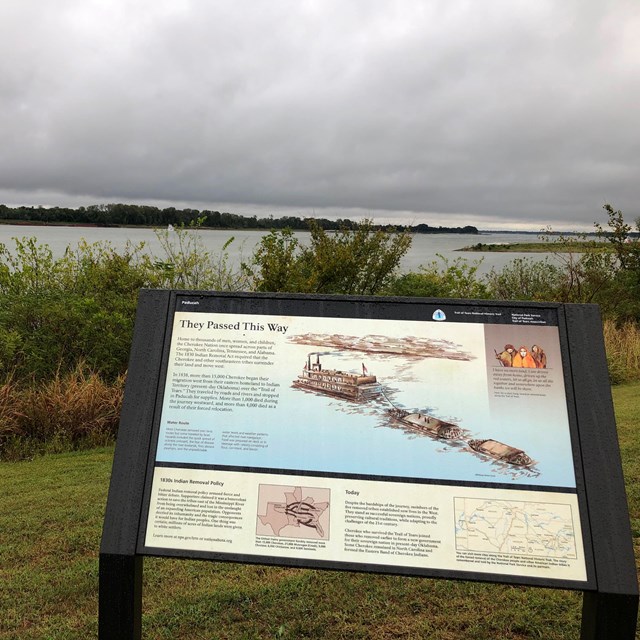
The Trail of Tears National Historic Trail covers nine states and thousands of miles of land and water routes. During 1838 and 1839, more than 16,000 Cherokee men, women, and children were forcibly moved from their homes in the southern Appalacian Mountains to stockades and internment camps, after which they walked hundreds of miles to Indian Territory (present-day Oklahoma). The harsh conditions led to a high rate of illness, widespread desertion, and hundreds of deaths. The Trail of Tears National Historic Trail was designated to preserve the story, the routes, and support the associated sites that commemorate the Cherokees' forced migration. To learn more about sites that tell the story of the Trail of Tears:
|

Last updated: January 27, 2020