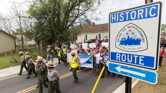
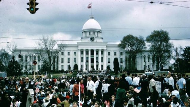
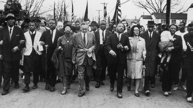
National Park Service LogoU.S. Department of the InteriorNational Park ServiceNational Park Service
National Park Service:  U.S. Department of the InteriorNational Park Service Arrowhead
Selma To Montgomery National Historic TrailSEMO IC
view map
text size:largestlargernormal
printer friendly

General

The Selma to Montgomery National Voting Rights Trail was established by Congress in 1996 to commemorate the events, people, and route of the 1965 Voting Rights March in Alabama. The route is also designated as a National Scenic Byway/All-American Road.

more...


Edmund Pettus Bridge with Cars - courtesy Alabama Historical Commission

News You Can Use

News Releases...
 
 
Selma to Montgomery marchers

March Overview and Never Lose Sight of Freedom Edukit

Experience the events and emotions that shaped the March and Movement through this interactive presentation.
(flash player required)
more...


Write to

7001 US Highway 80
Hayneville, AL 36040-4612

E-mail Us

Phone

Lowndes County Interpretive Center
(334) 877-1983

Fax

(334) 877-1985

Climate

The summers can be hot and humid with the average high near 95 and lows near 65. The winters are mild with the daily average high in the mid 50's and lows near 32.
Edmund Pettus Bridge with cars  

Did You Know?
The Selma to Montgomery Voting Rights Trail is located on U.S. Highway 80 and extends 54 miles from Selma to Montgomery, Alabama.

Last Updated: October 02, 2007 at 15:13 EST