
Ray Turner Saguaro National Park was established in 1933 to protect the famous stand of saguaros at the base of the Rincon Mountains east of Tucson. From the beginning, people were concerned that this stand was dying out. To find out why, all saguaros were measured and counted in a one-square-mile section of the park called Section 17 in 1942. Monitoring of saguaros at the park began in 1942 and, thanks to dedicated researchers, has continued every year since. After more than a half century of poor establishment, survival of young saguaros began to increase in the 1960s. Establishment of new plants surged in the 1980s. The old giants of the Saguaro Forest are slowly being replaced by these slow-growing youngsters. The photographs at right depict this dramatic transformation. Even though many old, tall saguaros were lost from 1935 to 1998, today we see more young saguaros sprouting up from under nurse trees. Read more about long-term demographic change in saguaros:
The Saguaro Census, conducted every 10 years since 1990 in Saguaro National Park, is the primary way the park tracks the population health of its signature plant and associated vegetation community. Results from the 2020 Saguaro Census indicate the park’s saguaro population is healthy. Since 1990, the number of saguaros has nearly doubled, from an estimated 1.15 million to 2 million in 2020. At the same time, it is clear that the surge of new saguaros entering the population in the late 20th century has now mostly ended. In 2020, only slightly more saguaros were detected than in 2010. Some younger plants were found in foothills and slopes of both districts, where certain soils and rock crevices may retain moisture for longer than in lower, flatter areas. The overall decline in survival of young saguaros can likely be attributed to the extended drought that began in the 1990s and appears to be driven by higher temperatures. Read more about saguaros and climate:
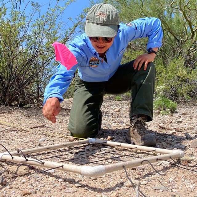
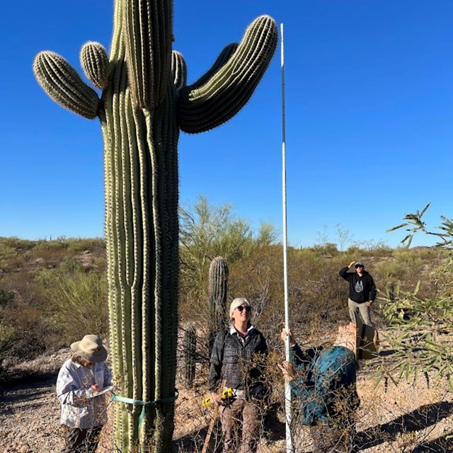
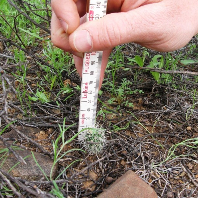
Research on Saguaro National Park's saguaro population is ongoing—by park staff, the Sonoran Desert Network, university and independent researchers, and through citizen science.
Notable Saguaro Monitoring ProjectsWe hope these data are useful for research projects by researchers, college students, and local high school and middle school students.
Source: NPS DataStore Saved Search 4956. To search for additional information, visit the NPS DataStore. |
Last updated: May 5, 2025