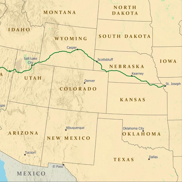
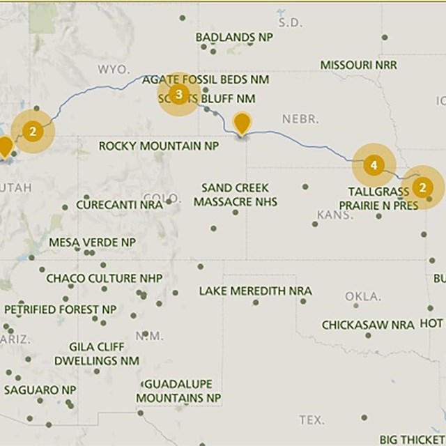
Traveling the Pony Express National Historic TrailIt is hard to believe that young men once rode horses to carry mail from Missouri to California in the unprecedented time of only 10 days. This relay system along the Pony Express National Historic Trail in eight states and 2,000 miles was the most direct and practical means of east-west communications before the telegraph. Maps and Places to Go

A family of road signs has been initiated across the Trail of Tears to help you find original routes, trail crossings, and local sites. Follow the signs exhibiting the distinctive Pony Express National Historic Trail logo. |
Last updated: April 23, 2025