Maps

 
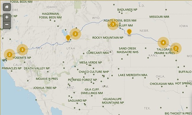
A map of the United States with a trail from St. Joseph to Sacramento.

The Pony Express National Historic Trail extends between St. Joseph and Sacramento.


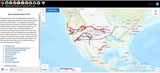
A map of the United States depicting trails from east to west.

GIS Interactive Map

The National Park Service Geographic Resources Program hosts an interactive trails map viewer.
Choose the Pony Express National Historic Trail and then zoom in to find the details you need for trip planning.

 
A map that depicts a trail from Missouri to Sacramento, California.

Places to Go along the Trail

It highlights different sites that can be visited along the trail. You'll find museums, interpretive centers, and historic sites that provide information and interpretation.


State by State Auto Tour Travel Guides

Loading results...
     

    Pony Express National Historic Trail Topographical Map

    A color, topographical map of the entire Pony Express National Historic Trail.. Because the nearly 1900 mile long trail covers eight states, this map measures approximately 50" x 11"

    Last updated: August 31, 2021

    Park footer

    Contact Info

    Mailing Address:

    National Trails Regions 6|7|8
    Pony Express National Historic Trail
    1100 Old Santa Fe Trail

    Santa Fe, NM 87505

    Contact Us