|
The park tile map above is under construction. View and download the official park brochure map (12.1 MB pdf). We recommend you download and save this map pdf on your phone before you come to the park. Many places in the park have no cell service. Use the official park map instead of relying on GPS, which does not work well here. OTHER MAPS
Trails
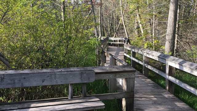
Whether you are looking for a quick, less-than-a-mile hike or a 42 mile journey, there's a trail for you at Pictured Rocks! 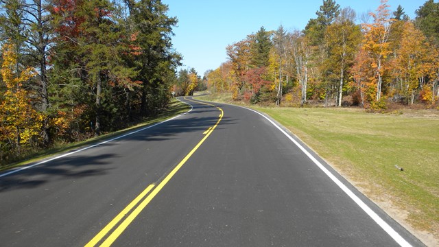
Directions & Transportation
Road mileage, winter closures, shuttle service, and more! 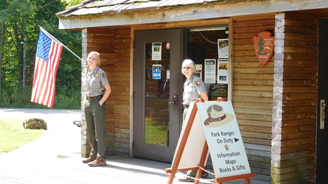
Visitor Centers
Talk with rangers and get information about the park! |
Last updated: March 27, 2023