
NPS photo Lassen National Park Highway
Once a section of road is cleared, it remains closed to vehicles until the last layer of snow and ice melts and all road preparations (e.g. signs, shoulder grading, parking areas) are complete. Outlying Park AreasThe park may also plow snow from Butte Lake, Warner Valley, or Juniper Lake roads, depending on the spring snow depth. The paved sections of Warner Valley and Juniper Lake roads are maintained by Plumas County and are usually not plowed. Current Road StatusCurrent road closures are posted as alerts to the top of every page. If there is no active closure alert, then the park road is fully open. All alerts are also listed on our Alerts & Conditions page. When will the Road Open?The park does not have an established date for the full opening of the park road. in 2026, due to this year’s lower‑than‑average snowpack, we anticipate that the road will be fully open by Memorial Day weekend. In future years, opening dates vary based on winter snowpack conditions and may occur as late as early July. See the chart with historic closing and opening dates.
NPS photo Order of OperationsRoad crews begin clearing snow from the park highway in March or April, depending on snow depth and weather forecasts, and follow this order of operations:
Delays and other ConsiderationsClearing the park highway is no quick or easy undertaking! Snow depth can reach up to 30 feet at the highest elevations, with drifts occasionally reach as high as 40 feet. Spring clearing schedules and opening dates vary from year to year and cannot be predicted. The factors involved in this time-consuming annual process include:
Road Opening and Closing Dates, 1980 to Present* Closing date refers to date the park highway officially closed for the year. The road may temporarily close earlier for lighter snowfalls.

Park Map
Explore the digital park map, including facilities, trails, and features. 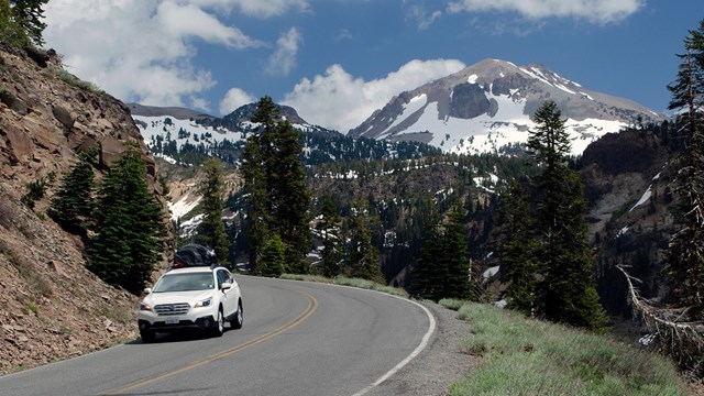
Directions & Getting Around
Get directions to the park, navigating through the park, and driving around the park when the road closes in winter. 
Weather
Find specific forecast information for different parts of the park and related links. 
Snowpack
Why is Lassen's snowpack important, how is it measured, and why? 
Webcams
See what the park currently looks like though continuously updating webcams. 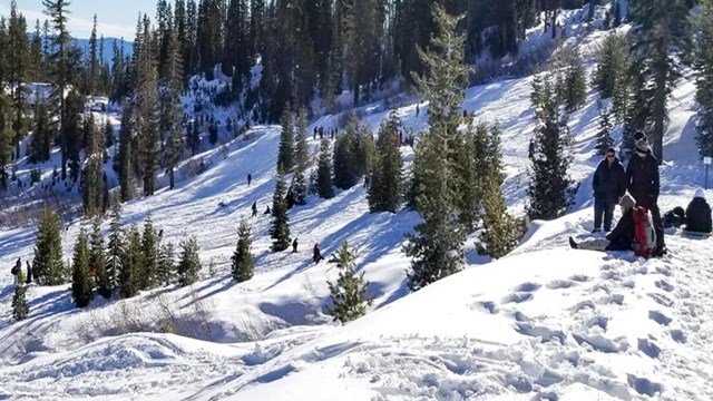
Visiting in Winter
Winter is a season of snow and solitude. Vehicle access is limited, but over-the-snow adventure is seemingly endless. 
Oversnow Route Conditions
November to May, learn about conditions on oversnow routes in the park. 
Hike and Bike the Highway
During spring snow clearing operations, the park road opens to hiking and biking before it opens to vehicles. | ||||||||||||||||||||||||||||||||||||||||||||||||||||||||||||||||||||||||||||||||||||||||||||||||||||||||||||||||||||||||||||||||||||||||||||||||||||||||||||||||||||||||||||||||||||||||||||||||||||||||||||||||||||||||||||||||||||||||||||||||
Last updated: April 18, 2026