|
From 1897-98, the Klondike Gold Rush transformed a traditional trade route into highway. Thousands of men, women, and children completed the journey from Dyea, Alaska to Lake Bennett, British Columbia. Today, the Chilkoot Trail is a 33 mile recreational trail. Each year, over 15,000 people day hike, backpack, or trail run this corridor. As they do, they pass hundreds of artifacts left behind by gold seekers. In 2022 the trail was officially designated the Chilkoot National Historic Trail. 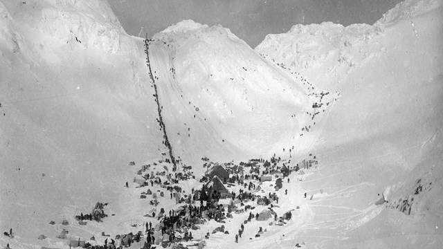
Chilkoot Trail History
From a Tlingit trade route, to a gold rush highway, to a modern recreation trail. Learn how the Chilkoot Trail has changed over 150 years. 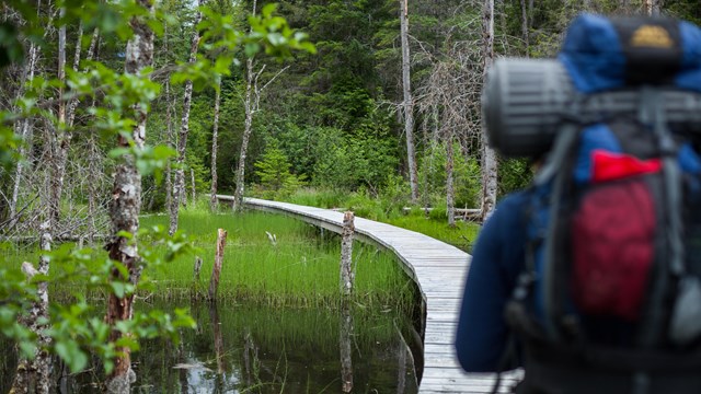
Hike the Chilkoot Trail
Start planning your backpacking or day hiking trip on the Chilkoot Trail 
Chilkoot Trail photos
Explore the Chilkoot Trail through pictures taken by hikers 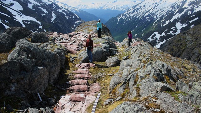
Experience the world's longest museum
Learn about artifacts left behind by gold rush stampeders 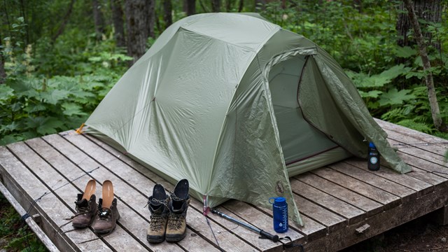
Chilkoot Trail Campgrounds
Choose your camp spots from 9 campgrounds along the trail. Experience the Chilkoot Trail through photographs |
Last updated: May 29, 2025