Great Basin National Park
|

NPS Image Topographic MapsGreat Basin National Park is covered by six topographic maps in the U.S. 7.5 minute series. The Wheeler Peak and Kious Springs maps cover much of the high-elevation backcountry. The Windy Peak map covers a number of the most popular trails and well-developed trails. The Lehman Caves map covers mostly low-elevation areas outside the park. The most remote, least-used backcountry areas are covered by the Minerva Canyon and Arch Canyon maps. Download free images of the USGS Quadrangles below:
Other Public LandsGreat Basin National Park is surrounded by lands managed by the US Forest Service and the Bureau of Land Management, which are free to recreate and camp on with their own rules and regulations distinct from the National Park Service. 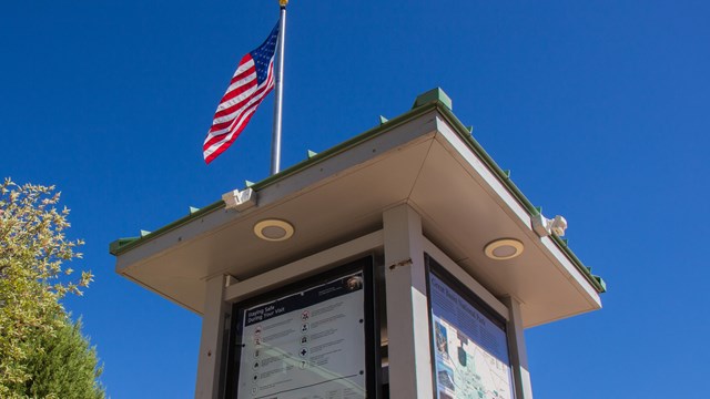
Basic Information
Start here for information regarding hours, weather, road conditions, and more. Come by a Visitor Center for more info during your visit. 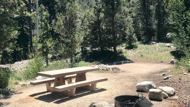
Campgrounds
Great Basin has five campgrounds available for visitors. Some campgrounds are closed seasonally due to weather. 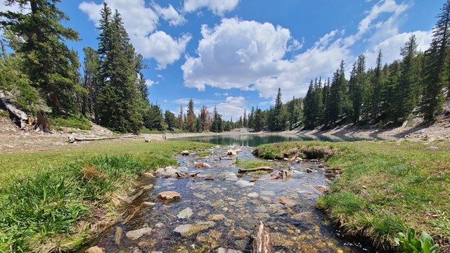
Hiking Trails
Check out the dozens of miles of trails available in the park, taking you to gorgeous lakes, bristlecone pines, and solitude. |
![[4MB JPG]](/grba/planyourvisit/images/Unigrid2024.jpg)
![Windy Peak [7MB]](/grba/planyourvisit/images/NV_Windy_Peak_20210918_TM.jpg)
![Lehman Caves [4MB]](/grba/planyourvisit/images/NV_Lehman_Caves_20210918_TM.jpg)
![Wheeler Peak [9MB]](/grba/planyourvisit/images/NV_Wheeler_Peak_20210928_TM.jpg)
![Kious Springs [7MB]](/grba/planyourvisit/images/NV_Kious_Spring_20210918_TM.jpg)
![Minerva Canyon [8MB]](/grba/planyourvisit/images/NV_Minerva_Canyon_20210918_TM.jpg)
![Arch Canyon [7MB]](/grba/planyourvisit/images/NV_Arch_Canyon_20210921_TM.jpg)
Last updated: July 5, 2025