
Enter Glacier Bay and you cruise along shorelines completely covered by ice just 250 years ago. Explorer Capt. George Vancouver documented Icy Strait as choked with ice in 1794, and Glacier Bay was a barely indented glacier. That glacier was more than 4,000 feet thick, up to 20 miles or more wide, and extended more than 100 miles to the St. Elias Range of mountains. But by 1879, naturalist John Muir found that the ice had retreated 48 miles up the bay. By 1916 the Grand Pacific Glacier stood at the head of Tarr Inlet, about 65 miles from Glacier Bay's mouth. Such rapid retreat is known nowhere else. Scientists have note that this is the fastest-documented glacial retreat in recorded history. While early explorers like Vancouver, naturalists like John Muir, and other western peoples claim to have "discovered" Glacier Bay, the Bay has been known as Homeland to the Huna Lingít since time immemorial, or time before memory. In 1794, as the mother ship H.M.S. Discovery, Captained by George Vancouver, lay at anchor in Pt. Althorp, a survey crew under the command of Lt. Joseph Whidbey painstakingly maneuvered their longboats through the ice-choked waters of Icy Strait. The remarkably accurate chart the survey produced shows a mere indentation in the shoreline, "terminated by solid compact mountains of ice," where Glacier Bay is today. The great glacier that filled the Bay was by then in rapid retreat, and was the source of the floating icepack that so hindered Whidbey. Any visitor who came by at the glacial maximum, a few decades earlier, would have found the glacier’s tongue extending out into Icy Strait almost to Lemesurier Island. 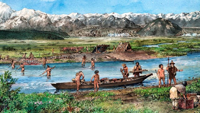
Huna Lingít
Indigenous People of Glacier Bay 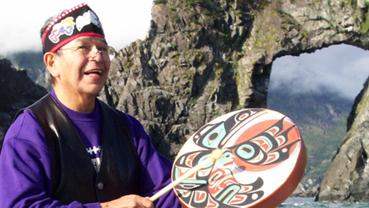
Discovering the Essence
Glacier Bay as Homeland 
A Land Reborn
Administrative History of Glacier Bay 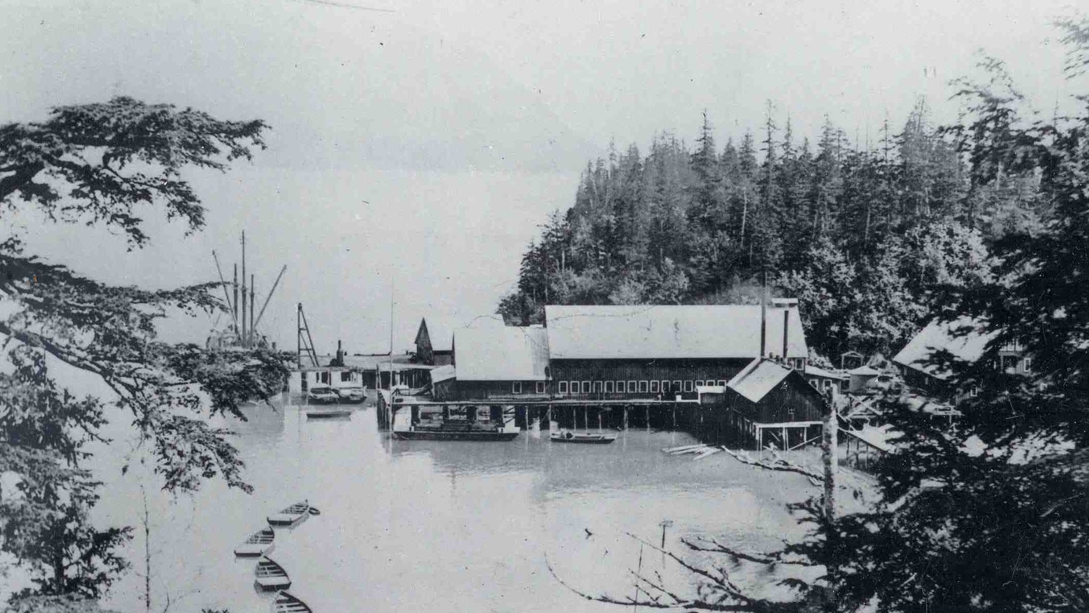
Glacier Bay Historic Resources Study
Glacier Bay Historic Resources Study 
Eliza Scidmore
One of Glacier Bay's most interesting and intrepid visitors: 
William Cooper: A Vision of Preservation
The original vision of Glacier Bay as a national park originated from a scientist. 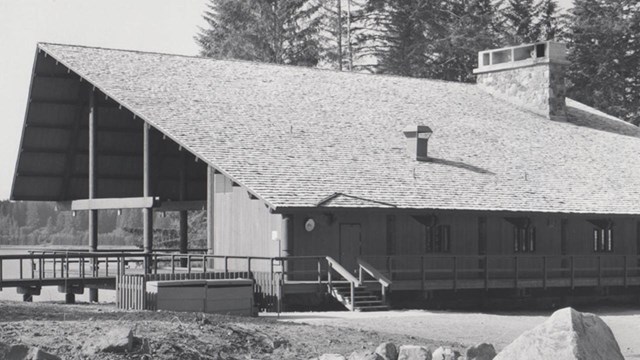
50 Years of Glacier Bay Lodge
Glacier Bay Lodge is a classic example of the NPS Mission 66 program |
Last updated: September 26, 2025