|
Gila Cliff Dwellings National Monument is located in the Gila Wilderness within the Gila National Forest. Within a few miles of the cliff dwellings, elevations range from around 5,700 to 7,300 feet above sea level. In the immediate vicinity of the cliff dwellings, elevations range from 5,700 to about 6,000 feet. The terrain is rugged, with steep-sided canyons cut by shallow rivers and forested with ponderosa pine, Gambel oak, Douglas fir, New Mexico juniper, pinyon pine, and alligator juniper (among other plants). During the summer, daytime highs average in the 90s F, while nighttime lows can reach into the 50s F. During the winter, daytime highs can be in the 50s F, while nighttime lows can reach into the teens. The most common large mammals encountered are mule deer and elk. Black bear and mountain lion are in the area, but are seldom seen. Coyotes can sometimes be heard at night. Because the Gila National Forest plays a role in the reintroduction of the Mexican gray wolf, wolves may be in the area, but it is rare to encounter them. The most common birds in the vicinity of the monument are turkey vultures, ravens, hawks, hummingbirds, and various songbirds. 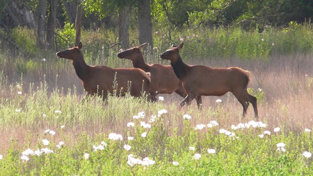
Animals
Cow elks walking through a patch of prickly poppies. 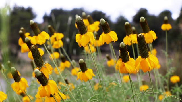
Plants
Group of yellow prairie coneflowers with blurred landscape in the background 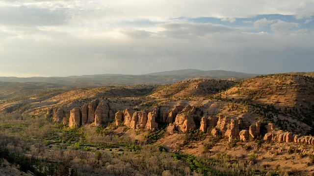
Natural Features & Ecosystems
View across a canyon towards the distance mountains and hills at sunset 
NPS To protect the treasures in their care, park managers need accurate information about what kinds of resources are in the park, how and why they are changing over time, and what amount of change is normal. Like a physician monitoring a patient's heartbeat and blood pressure, ecologists with the Sonoran Desert Network collect long-term data on key resources that can indicate overall ecosystem health. When park managers have early warning of potential problems, they have a better chance of dealing with them before they become harder and more expensive to fix. At Gila Cliff Dwellings National Monument, the network monitors air quality, climate, springs, streams, terrestrial wildlife, and vegetation and soils. Studying park vital signs is only part of the picture. Other field work is conducted by park staff, graduate students, or independent researchers. Because many parks prohibit activities that occur elsewhere, scientists can use the parks as "control" areas for determining the effects of these activities where they do occur. Especially in the American West, national park lands often serve as the best model for what an undisturbed landscape looks like. Source: NPS DataStore Saved Search 3680 (results presented are a subset). To search for additional information, visit the NPS DataStore. Park Species ListsSelect a Park:Select a Species Category (optional):
Search results will be displayed here.
|
Last updated: April 24, 2025