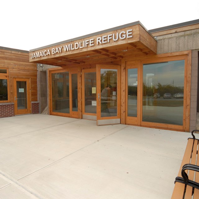
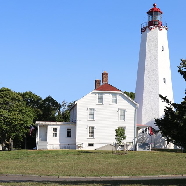
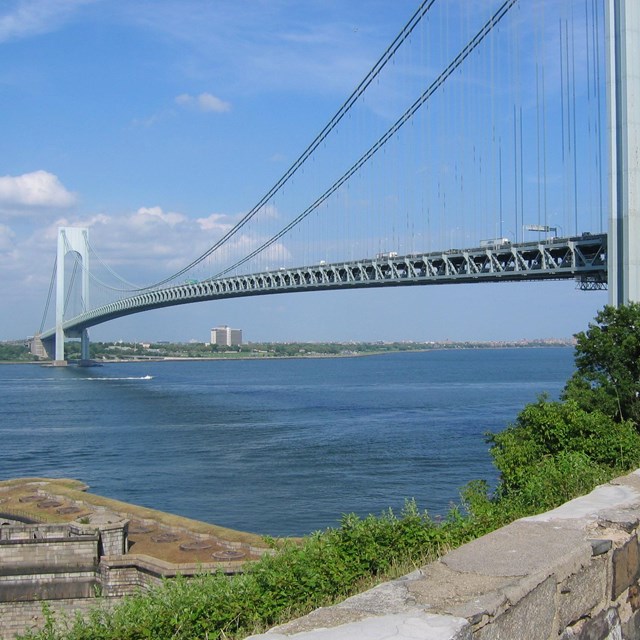
National Park Service LogoU.S. Department of the InteriorNational Park ServiceNational Park Service
National Park Service:  U.S. Department of the InteriorNational Park Service Arrowhead
Gateway National Recreation Area Subway crossing Jamaica Bay in the beautiful Jamaica Bay Wildlife Refuge.
view map
text size: largest larger normal
printer friendly
Gateway National Recreation Area
Directions
 
Map of Gateway National Recreation Area, 2010.

NPS GRAPHIC

Gateway National Recreation Area includes three main units: Sandy Hook, Jamaica Bay and Staten Island.

Driving Directions to Gateway

Gateway National Recreation Area is a vast national park. Visitors can arrive at different areas of the park via car, bus or, sometimes, subway or ferry.

Directions to areas in the Jamaica Bay Unit (Brooklyn and Queens)

Directions to Sandy Hook Unit (Highlands, New Jersey)

Directions to areas in the Staten Island Unit

Call 511 in the New York area for traffic information.

For information about public transportation to Gateway, see above.

 
Ferries can take you to Sandy Hook, New Jersey and Riis Landing, Queens, New York.
Take a ferry!
Ferries can take you to Sandy Hook, New Jersey and Riis Landing, Queens, New York.
more...
Our map section includes trail maps, driving maps and Google Earth maps.
Gateway is big. Use a map!
Our newly expanded map section includes trail maps, driving maps and Google Earth maps.
more...

You are exiting the National Park Service website

Thank you for visiting our site.

You will now be redirected to:

We hope your visit was informative and enjoyable.

Last Updated: June 01, 2011 at 10:56 MST