|
Lobby > Exhibits > Scientific Research > Research in The Deep > Charting Yellowstone Lake
Charting Yellowstone Lake
 As the largest high mountain lake in North America, Yellowstone Lake straddles the caldera of a volcanic eruption that occurred approximately 640,000 years ago. At least two geyser basins occupy the lake shores. Scientists had long suspected that there was thermal activity within Yellowstone Lake because of the presence of persistent ice-free holes (sometimes hundreds of feet across) in parts of the lake during the winter. Also, the lake’s chloride discharge, which was measured in the 1960s, was found to be far greater than that which could be accounted for by the land hot springs that flowed into the lake. As the largest high mountain lake in North America, Yellowstone Lake straddles the caldera of a volcanic eruption that occurred approximately 640,000 years ago. At least two geyser basins occupy the lake shores. Scientists had long suspected that there was thermal activity within Yellowstone Lake because of the presence of persistent ice-free holes (sometimes hundreds of feet across) in parts of the lake during the winter. Also, the lake’s chloride discharge, which was measured in the 1960s, was found to be far greater than that which could be accounted for by the land hot springs that flowed into the lake.
In the 1970s and 1980s, researchers from various universities produced the first complete bathymetric map of Yellowstone Lake. In the late 1980s, scientists used a single sonar beam along a grid of the lake and detected many submerged thermal areas.
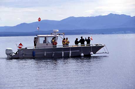
The most recent mapping survey of Yellowstone Lake took place from 1999 to 2003, using sonar (sound beams) technology and a highly accurate navigational system. The result was continuous overlapping coverage and more than 240 million soundings.
Next |
1 > 2 > 3 > 4 | Next Section: Spires of the Deep

|