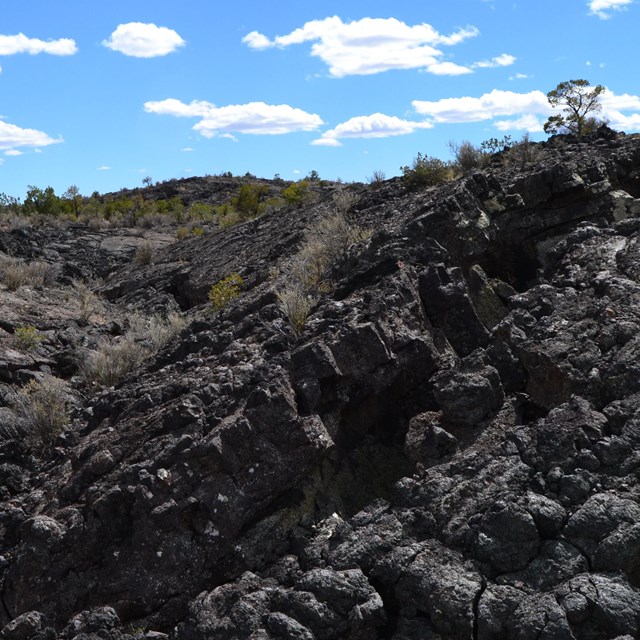
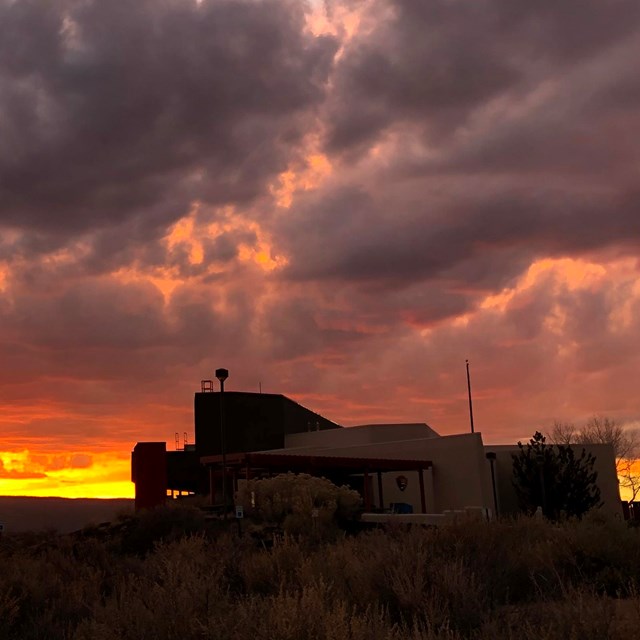
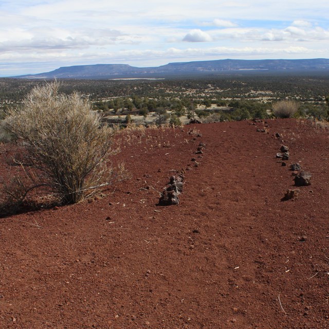
National Park Service LogoU.S. Department of the InteriorNational Park ServiceNational Park Service
National Park Service:  U.S. Department of the InteriorNational Park Service Arrowhead
El Malpais National Monument The wide open landscape near Cerro Encierro
view map
text size: largest larger normal
printer friendly
El Malpais National Monument
Places To Go
 
A tortured basalt landscape is rimmed by trees in El Malpais

NPS

Take in the surreal beauty of lava country on a short hike in El Malpais.

Enjoy a vast panorama of lava flows twisting below golden cliffs. Stand on the rim of an ancient cinder cone. Walk over a lava bridge as wide as an interstate overpass. Trek down a section of the Continental Divide National Scenic Trail. All of these places are here at El Malpais.

Download our brochures to help you plan your visit, or stop by a visitor center while you are in the area for trail maps and brochures.


Notice: As of December 6, 2010, all caves in El Malpais National Monument are CLOSED to recreational use. Click here for the official news release. Trails and recreational areas in the park are still open for visitor use.

Sites on Highway 53

Zuni-Acoma Trailhead
This is a very tough hike across 7.5 miles of lava on a route marked by rock cairns. The route has been in use for centuries by the Pueblo People. Be prepared for this rugged trek.

El Calderon Area
Here you'll find a 3 mile loop trail that wanders past lava flow features and the El Calderon volcano, active around 115,000 years ago. This is the most developed trail in the park, and the trailhead features picnic tables and pit toilets. Hikers looking for more can take on the Continental Divide National Scenic Trail from this trailhead.

El Malpais Information Center
Hike the Continental Divide National Scenic Trail from here. Restrooms, water, and picnic tables available.

Big Tubes Area
Although the caves are closed, the lava bridges and other features of the area remain open. This is strenuous hiking. Use CR 42 to get there.


Sites on Hwy 117

El Malpais Ranger Station (BLM)
A 1.5 mile graded and marked nature trail heads up the ridge behind the ranger station. Restrooms, water, and a picnic table are available.

Sandstone Bluffs
A gravel road leads up to a spectacular overlook of the varied lava flows of El Malpais. Picnic tables and toilets are available here. Hikers can wander the cliffs or route find to the lands below.

Joe Skeen Campground (BLM)
This primitive campground features 12 sites with shade shelters, pit toilets, picnic tables, and fire grates. Campsites are available on a first-come, first-served basis.

Acoma-Zuni Trailhead
The east side trailhead for the rugged Zuni-Acoma Trail; be prepared for this strenuous hike.

La Ventana Arch (BLM)
One of the largest sandstone arches in New Mexico can be found just 18 miles south of the interstate. A short trail leads to a viewpoint. Pit toilets and picnic tables are available here.

South Narrows Picnic Area & Narrows Rim Trailhead (BLM)
Picnic tables, shade shelters, and pit toilets are available. Begin the 8 mile Narrows Rim trail here.

Lava Falls
Explore the recent McCartys Lava Flow on this 1.5 mile cairned hiking route. Enjoy the surreal moonscape created by volcanism. Toilets and picnic tables are available here.

You are exiting the National Park Service website

Thank you for visiting our site.

You will now be redirected to:

We hope your visit was informative and enjoyable.

Last Updated: August 30, 2011 at 10:09 MST