
Places to Go along the TrailTrip planning? This map highlights different sites that can be visited along the trail. You'll find museums, interpretive centers, and historic sites that provide information and interpretation on this interactive map. 
GIS Interactive MapThe National Park Service Geographic Resources Program hosts an Interactive Trails Map Viewer.

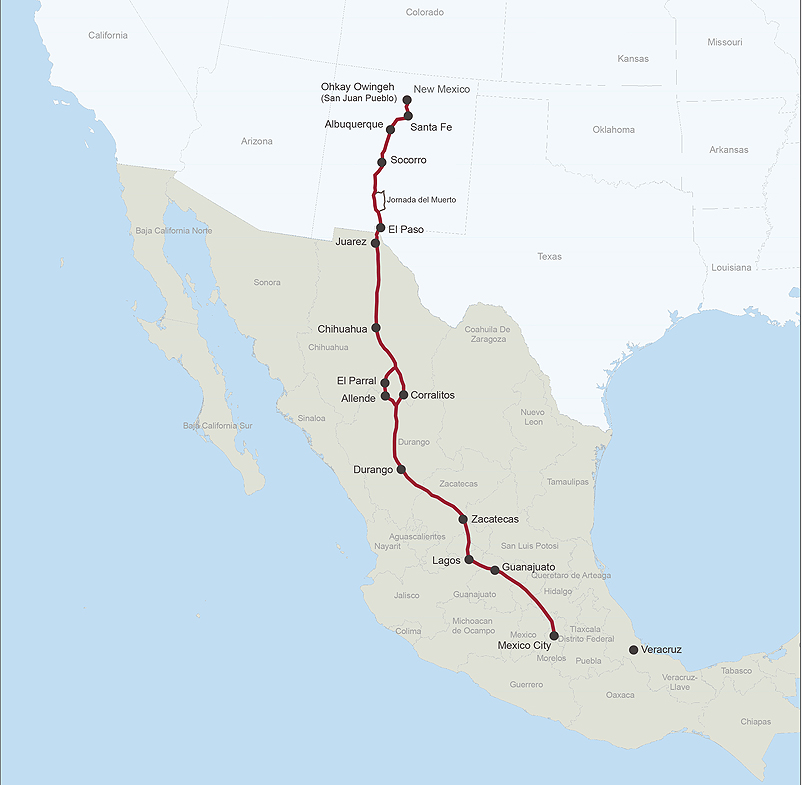
International MapThe International map shows the full trail route from 2024 Mexico City, Mexico to Ohkay Owingeh (San Juan) Pueblo, New Mexico. |
Last updated: April 23, 2025