


Last updated: April 23, 2025

Planning a Trail Visit
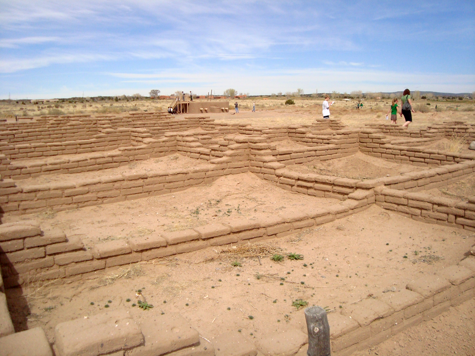
Do you want to experience the trail? Learn more about where you can go, historic sites you can visit and more!

Where is this National Historic Trail?
Take a look at interactive, historic, and trip planning maps to learn more about locations along the trail.

Página web de El Camino Real
Chequea nuestra nuestra página web en Español.

Connect with Us!
Connect on social media, explore deeper on mobile apps, watch videos, and check out other digital media!

El Camino Travel Itinerary
Follow a travel itinerary for a planned trip exploring multiple trail sites in one region.