|
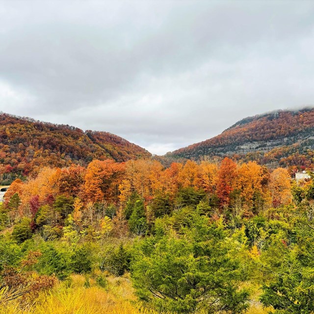
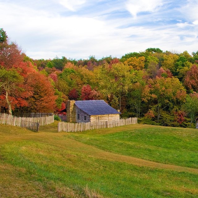
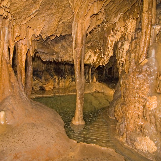
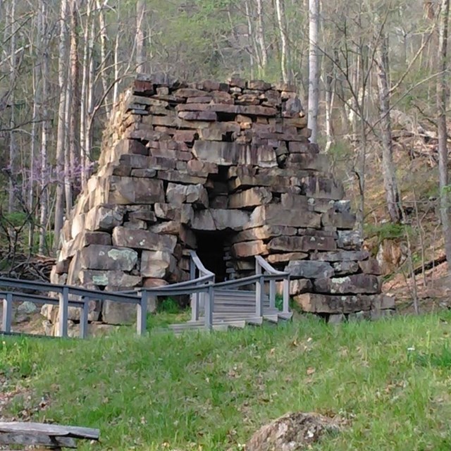
Cumberland Gap National Historical Park is a great place to explore with over 80 miles of trails, camping, abundant wildlife, and opportunities to experience history first hand! Places to Go
|


Last updated: May 26, 2026
Official websites use .gov
A
.gov website belongs to an official government
organization in the United States.
Secure .gov websites use HTTPS
A
lock (
) or https:// means you've safely connected to
the .gov website. Share sensitive information only on official,
secure websites.
|
Cumberland Gap National Historical Park is a great place to explore with over 80 miles of trails, camping, abundant wildlife, and opportunities to experience history first hand! Places to Go
|
Last updated: May 26, 2026