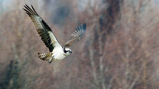
Animals in the Park
Osprey soaring over the river are just one of the many animal species found in the park. Photograph by park VIP Tom Wilson. 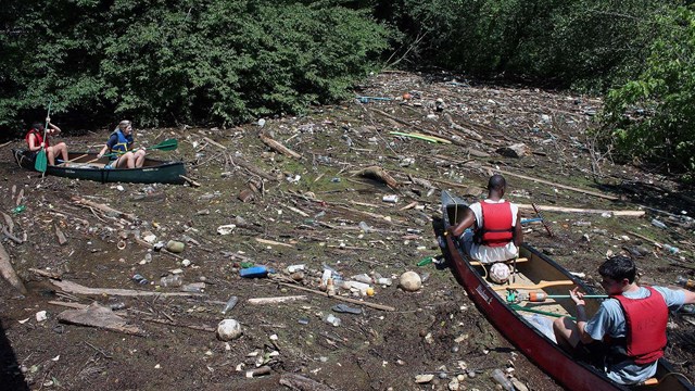
Environmental Factors
Water quality and invasive species are two environmental factors that have an impact on the river. Photograph by park staff. 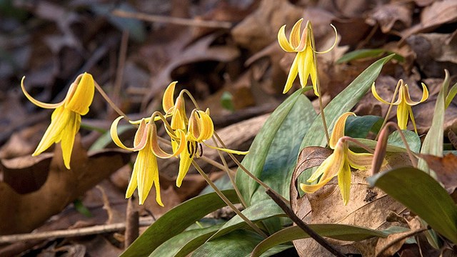
Plants In The Park
The park has a great diversity of plants with the Yellow Trout Lily found blooming in the spring. Photograph by park VIP Tom Wilson. Chattahoochee River National Recreation Area (CRNRA) is rich in natural and human history, each influenced by the river's pervasive force. Usually clear, cold, and slow moving, the river sometimes plunges as a muddy torrent through its rockbound shoals. For centuries people have been drawn to the river for a source of water, food, and transportation, and in more recent times for power to sustain the mills, factories, and homes built along its banks. Wild plants and animals, native to the area, are abundant in the park. Visit the park often to see the ever changing show that the plant life has to offer. Some animals you will see every time you visit and some, like the playful river otter, will delight you with a rare appearance. |
Last updated: January 29, 2019