National Park Service LogoU.S. Department of the InteriorNational Park ServiceNational Park Service
National Park Service:  U.S. Department of the InteriorNational Park Service Arrowhead
California National Historic Trail Wind River Mountain Range in Southwestern Wyoming.
view map
text size: largest larger normal
printer friendly
California National Historic Trail
Auto Tour Route - Utah

Below the map are suggested driving directions to follow the Auto Tour Route for the California National Historic Trail through Utah, from Idaho and Wyoming to Nevada.
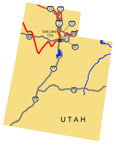

 
Auto Tour Route driving directions across Utah.
NPS Image
Auto Tour Route driving directions across Utah.
 
From Idaho:

1. Take Interstate 15, or Interstate 84 south from Idaho.
2. Take Interstate 15 / 84 south to Salt Lake City.
3. Turn west onto Interstate 80 to the Nevada border.

From Wyoming:

1. Take Interstate 80 west to Interstate 84.
2. Turn west onto Interstate 84.
3. Take Interstate 84 west to State Route 65.
4. Turn southwest onto State Route 65.
5. Take SR 65 west to Interstate 80.
6. Turn west onto Interstate 80.
7. Continue west on Interstate 80 through Salt Lake City and the Nevada border.

Total original route miles in Utah (including alternate routes): 349

You are exiting the National Park Service website

Thank you for visiting our site.

You will now be redirected to:

We hope your visit was informative and enjoyable.

Photo image of a circa 1800s Union Pacific Railroad engine.

Did You Know?
It is estimated that between 350,000 and 500,000 people emigrated to the west between the 1840s and 1870s. They came by ox drawn wagons, on foot, & pulling hand carts until the Union Pacific and Central Pacific Railroads completed a rail line in May of 1869 at Promotory Point in Northern Utah.
more...

Last Updated: December 05, 2011 at 11:37 MST