|
Below the map are driving directions to follow the Auto Tour Route for the California National Historic Trail north to Oregon, from California.
NPS Image
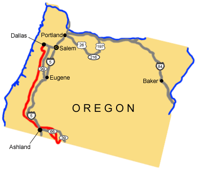
Applegate Route:
Total original route miles in Oregon (including alternate routes): 424 |
Last updated: April 23, 2025