Directions to Trail Headquarters
The trail's headquarters is located at Historic Jamestowne, part of Colonial National Historical Park. The park is near Williamsburg, Virginia and is approximately an hour's drive from both Richmond to the west and Virginia Beach to the east.
Address: 1368 Colonial Parkway, Jamestown, VA 23081
Directions from Interstate-64 Eastbound: Take Exit 234 for VA-199 East towards Williamsburg / Jamestown. Follow VA-199 West until you reach Jamestown Road, then make a right. Follow Jamestown Road to the end until you see Jamestown Settlement, turning left before reaching the ferry. Traveling around Jamestown Settlement, past the marina, make a right onto Colonial Parkway and continue until you reach the Historic Jamestowne visitor center.
Directions from Interstate-64 Westbound: Take Exit 242 A for VA-199 West towards Williamsburg / Jamestown. Follow VA-199 West until you reach Jamestown Road, then make a left. Follow Jamestown Road to the end until you see Jamestown Settlement, turning left before reaching the ferry. Traveling around Jamestown Settlement, past the marina, make a right onto Colonial Parkway and continue until you reach the Historic Jamestowne visitor center.
General Directions to the Trail
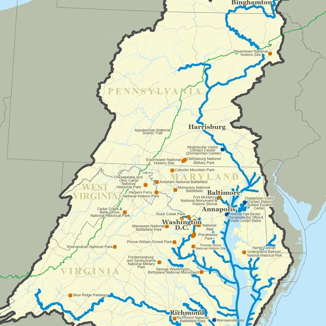
The trail route covers more than 3,000 miles of the Chesapeake Bay and its tributary rivers. It may be accessed from hundreds of points throughout Virginia, Maryland, Delaware, Pennsylvania, and the District of Columbia.
Depending on your desired activity or destination, there are multiple ways to find directions to a trail access point. For a map of the trail, information about our visitor centers, and to learn about our floating trail markers, see the links above.
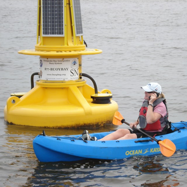
In addition, boaters and paddlers may want to explore our Boater's Guide, which details the best places to get out on the water, no matter what kind of vessel you captain. The guide offers an expert perspective that will help even complete beginners get started on a boating adventure.
Visitors looking for a hands on approach to plotting their trail experience may want to try their hand at geocaching. Use a GPS device or the GPS on your phone to navigate to more than 50 places along the Captain John Smith Geotrail. Learn more about the geotrail.