Last updated: January 7, 2025
3,000 Miles...15,000 Years of Culture
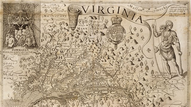
People first arrived in the Chesapeake Bay during the last ice age. As glaciers melted, diverse societies learned to thrive in a world of water. When Englishman Captain John Smith explored the Bay in 1608, he documented hundreds of American Indian communities. Today, sites on his map are archeological treasures and sacred sites for tribal citizens. Come join us on the shores of the Chesapeake Bay!
History & Culture
Discover the people, cultures, places, and events that made history here in the 1600s and beyond.
What is a National Historic Trail?
What is a National Historic Trail and how do I visit one? Learn about our National Trail System and discover what the trail is all about!
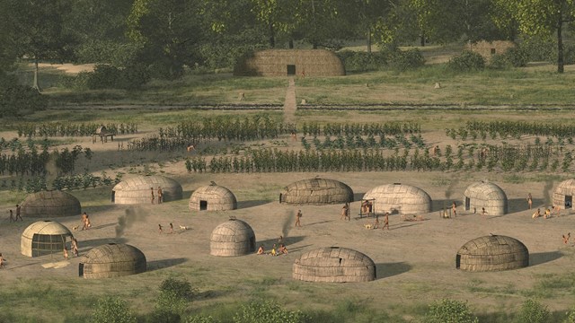
Werowocomoco
For hundreds of years before Europeans first came there, Werowocomoco was an important town whose name meant "place of leadership".
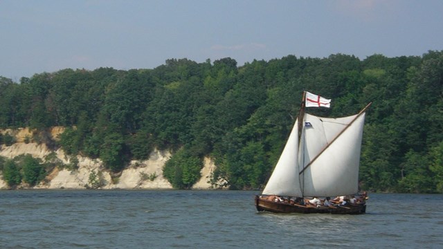
Smith's Voyages
In the summer of 1608, Captain John Smith embarked on two exploratory voyages of the Chesapeake Bay, convening with Tribes along the way.
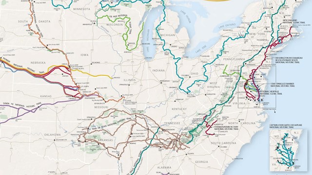
Trail Map
View a map of the trail's route and key sites along the way.
Places to Go
Discover the trail's visitor centers and contact sites located throughout the Chesapeake region.
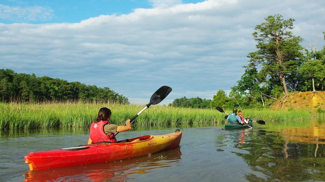
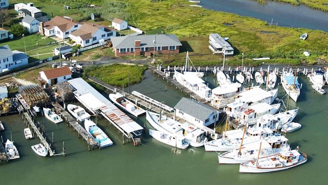
Things To Do
The trail offers countless ways to enjoy the rivers, marshes, and coastlines of the Chesapeake Bay.
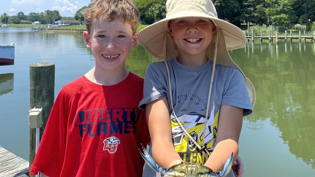
Kids & Youth
Explore fun activities and discover how to become a Junior Ranger for the Chesapeake National Historic Trail or Susquehanna River.
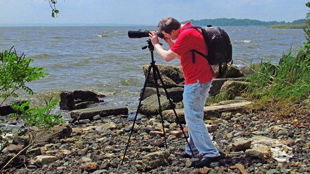
Photos & Multimedia
Virtually visit the park by viewing photos, videos, animal webcams, coloring books, and more!
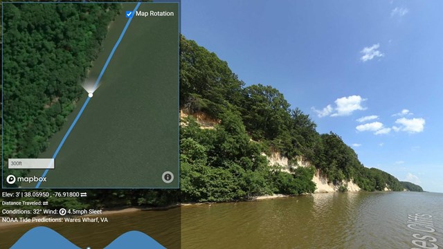
Street View Virtual Tours
Thanks to high-resolution street view technology, you can take a virtual tour of the trail from your computer or smart device.