Photo by AIRs Diane Durant & Devyn Gaudet 
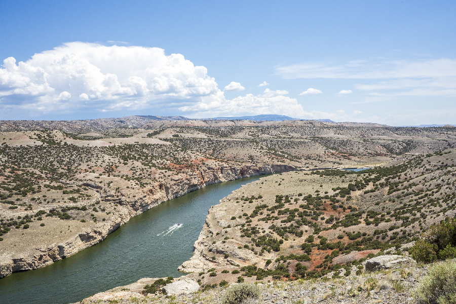
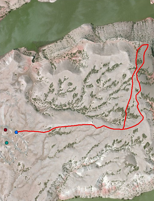
Mouth of the Canyon Trail: Moderate, 1.8 Miles Round TripSeldom-seen views of the canyon, as well as spectacular views of the Pryor and the Bighorn Mountains, can be seen from this trail. The deep red Chugwater outcrops are a sharp contrast to the surrounding geologic colors of Bighorn Canyon. To explore the colors and contrasting scenery Horseshoe Bend has to offer, begin hiking at the service road on the north end of loop B in Horseshoe Bend Campground near campsite number B-15. Just before reaching the water storage tank, veer right onto an abandoned two-track. Follow the two-track up and around the hills toward the canyon. When the road disappears, follow the trail markers along the Pryor Mountain Wild Horse Range boundary fence. From this vantage point, you can see the mouth of the canyon and its union with Crooked Creek. This colorful setting invites one to rest and watch the horses graze below and the birds soar above. You may either go back the way you came along the abandoned two-track road or follow the trail through a juniper-lined draw to the top of the ridge and back to the road. Please stay on the trail to help preserve the cryptobiotic soil. |
Last updated: December 6, 2022
