
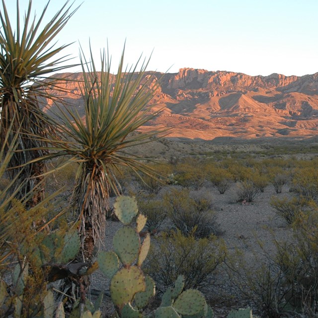
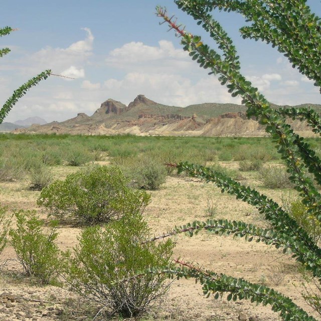
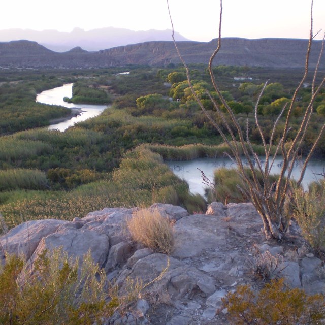
Once a remote and seemingly inhospitable area reached only by miles of dirt roads, Big Bend has become one of the most popular vacation destinations in the state of Texas, visited by over 500,000 visitors each year. Scenic vistas, diverse wildlife, outdoor adventure, historic sites, dark skies, and border culture rank among the features visitors enjoy in Big Bend. We look forward to sharing this special place with you. 
Join A Park Ranger: Guided ProgramsFun, Informative, and FREE. Discover the fascinating nature, science, history, and culture of Big Bend National Park with a ranger as your guide. Check the weekly schedules of Ranger-led programs posted throughout the park.Camping and Lodging
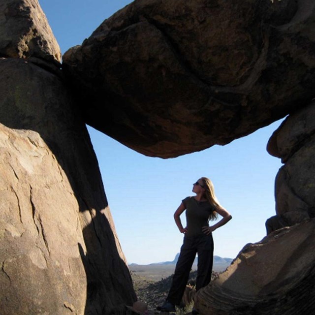
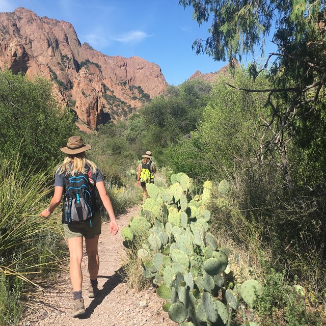
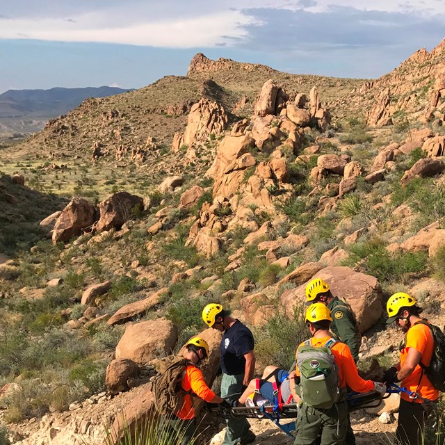
Prepare for your Adventure
Join A Park Ranger: Guided ProgramsFun, Informative, and FREE. Discover the fascinating nature, science, history, and culture of Big Bend National Park with a ranger as your guide. Check the weekly schedules of Ranger-led programs posted throughout the park.
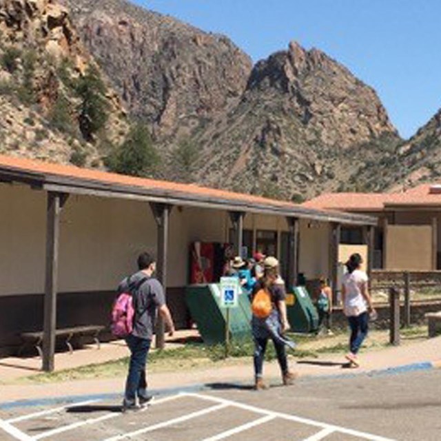
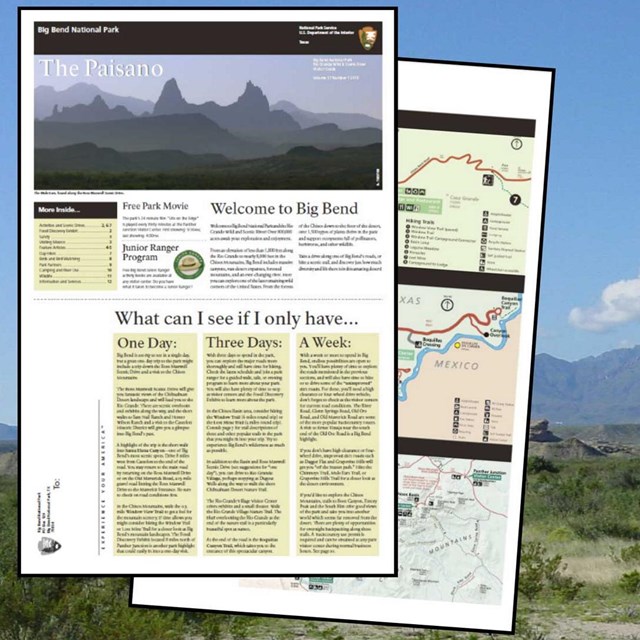
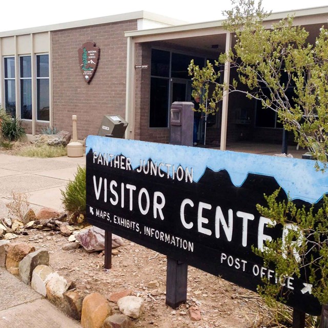
Be Sure to Stop at the Panther Junction Visitor CenterFor information, orientation, exhibits, park video, maps, books, and free brochures, the Panther Junction Visitor Center at Park Headquarters is a great place to start your adventure.
Local OutfittersLocal outfitters offer a variety of services including shuttles, equipment rentals, guided trips and scenic flights. |

Last updated: February 14, 2025