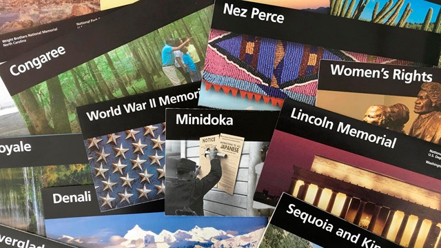
Brochure Maps
Download NPS brochure maps for this park and others! 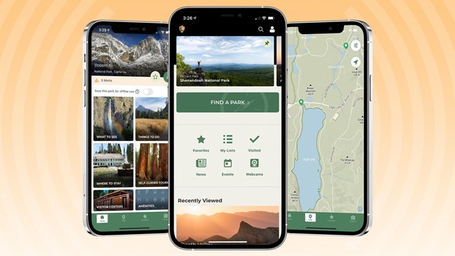
Interactive Maps to Use Offline
Download the free NPS app for access to maps of every national park—that work both online and off! Activity Specific MapsCheck out a virtual tour of Badlands! |
Last updated: April 27, 2022