Last updated: June 17, 2024
Article
NPS Geodiversity Atlas—Bering Land Bridge National Preserve, Alaska
Geodiversity refers to the full variety of natural geologic (rocks, minerals, sediments, fossils, landforms, and physical processes) and soil resources and processes that occur in the park. A product of the Geologic Resources Inventory, the NPS Geodiversity Atlas delivers information in support of education, Geoconservation, and integrated management of living (biotic) and non-living (abiotic) components of the ecosystem.

Introduction
Bering Land Bridge National Preserve (BELA) is located on the Seward Peninsula in the Northwest Arctic Borough and Nome Census Area of the Unorganized Borough, northwestern Alaska. Originally established as a national monument on December 1, 1978, the park unit was redesignated a national preserve on December 2, 1980 (National Park Service 2016). The preserve encompasses about 1,091,595 hectares (2,697,391 acres) and contains archeological, paleontological, and biological resources that record the history of the Bering land bridge that once connected Asia and North America during the last glacial period (Lanik et al. 2019). The namesake for BELA refers to a 1,000-km (620-mi) segment of land between Alaska and Siberia that, while shallowly submerged by the Bering and Chukchi seas today, was subaerially exposed during the glacial episodes of the Pleistocene Epoch (2.58 million–11,700 years ago) (Hopkins 1967). The first people to inhabit the BELA region were likely some of the first people to arrive in North America.
Geologic Setting
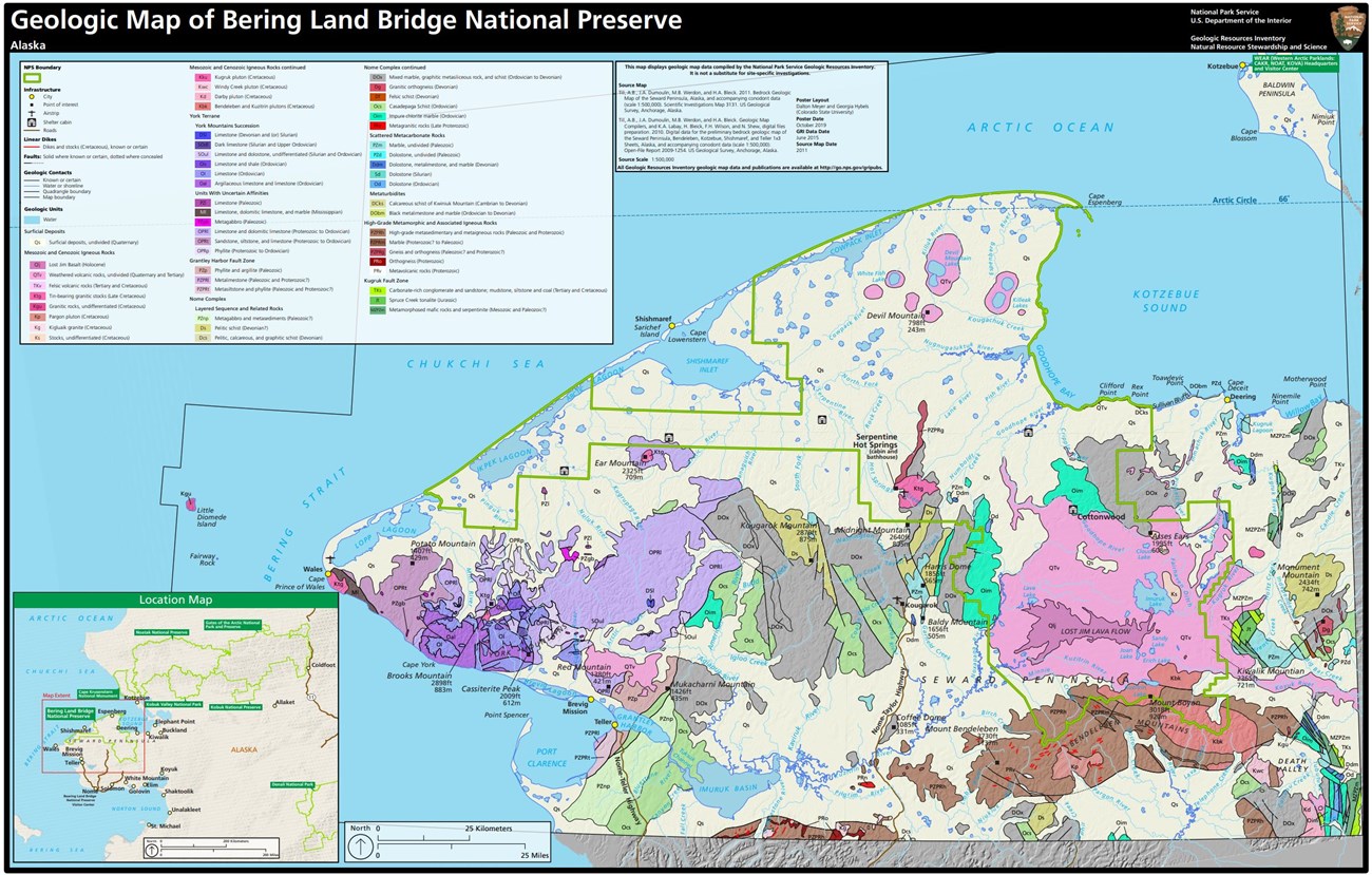
Much of the enabling legislation for establishing BELA is either geologic in nature or closely tied to the preserve’s geology (Lanik et al. 2019). Geological resources of the preserve include volcanic lava flows and ash explosions, coastal formations, paleontological sites, and the Serpentine Hot Spring area. The bedrock of BELA can be subdivided into four groups based on rock type, age, tectonic affinity, and metamorphic history: 1) Nome Complex; 2) York terrane; 3) high-grade metamorphic and associated igneous rocks; and 4) Mesozoic and Cenozoic igneous rocks (Figures 6 and 7; Till et al. 2011). Rocks of the Nome Complex date back to the late Proterozoic Eon and represent the metamorphosed remains of an ancient carbonate platform. Strata of the York terrane are exposed near Ear Mountain in western BELA and have experienced low-grade metamorphism. High-grade metamorphic and associated igneous rocks are located in the Kigluaik, Bendeleben, and Darby mountains where they form metamorphic complexes that surround Cretaceous-age plutons (Lanik et al. 2019). Mesozoic and Cenozoic igneous rocks consist of several Cretaceous-age pluton suites and intrusive complexes in addition to volcanic rocks associated with the Imuruk and Espenberg volcanic fields (Hopkins 1963).
- Scoping summaries are records of scoping meetings where NPS staff and local geologists determined the park’s geologic mapping plan and what content should be included in the report.
- Digital geologic maps include files for viewing in GIS software, a guide to using the data, and a document with ancillary map information. Newer products also include data viewable in Google Earth and online map services.
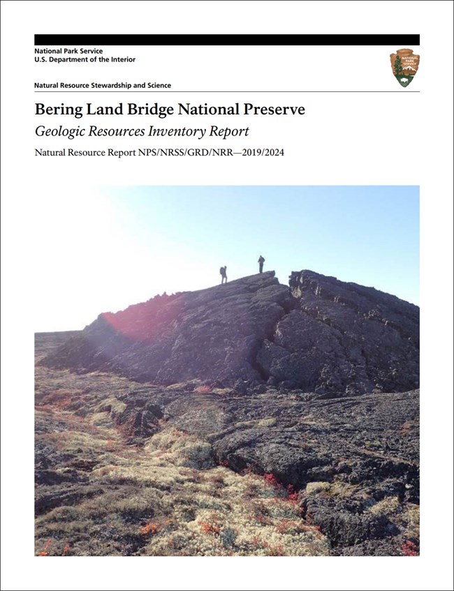
- Reports use the maps to discuss the park’s setting and significance, notable geologic features and processes, geologic resource management issues, and geologic history.
- Posters are a static view of the GIS data in PDF format. Newer posters include aerial imagery or shaded relief and other park information. They are also included with the reports.
- Projects list basic information about the program and all products available for a park.
Source: NPS DataStore Saved Search 2716. To search for additional information, visit the NPS DataStore.
A NPS Soil Resources Inventory project has been completed for Bering Land Bridge National Preserve and can be found on the NPS Data Store.
Source: NPS DataStore Saved Search 2771. To search for additional information, visit the NPS DataStore.


