
NPS Photo/GLBA 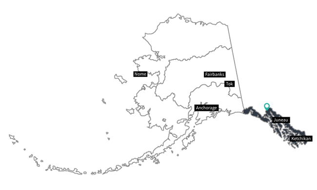
NPS Graphic/ANCH Alaska Chilkat Bald Eagle PreserveCities Nearby: Haines
The preserve was established to protect and perpetuate the world's largest concentration of Bald Eagles and their critical habitat. It also sustains and protects the natural salmon runs and allows for traditional uses; provided such uses do not adversely affect preserve resources. The Preserve consists of 48,000 acres of river bottom land of the Chilkat, Kleheni, and Tsirku Rivers. The boundaries were designated to include only areas important to eagle habitation. Virtually every portion of the preserve is used by eagles at some time during the year. 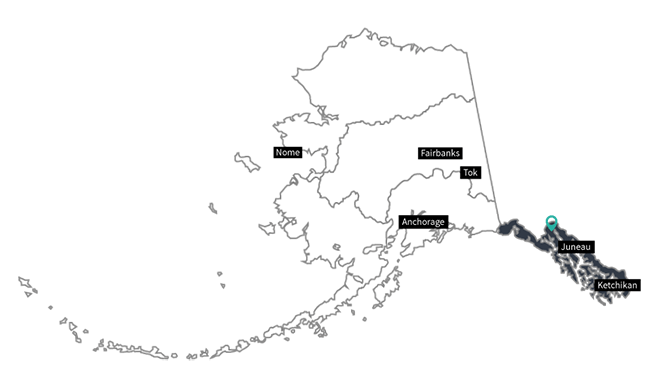
NPS Graphic/ANCH Chilkat River Critical Habitat AreaCities Nearby: Haines
At the confluence of the Chilkat and Tsirku rivers 18 miles north of Haines on the Haines Highway, is the site of the largest known concentration of bald eagles in the world, the “Bald Eagle Council Grounds,” designated as both a state critical habitat area and the Alaska Chilkat Bald Eagle Preserve for the protection of bald eagles and their habitat. The area attracts visitors from around the world for its unparalleled bald eagle viewing opportunities. 
NPS Graphic/ANCH Chilkat State ParkCities Nearby: Haines
Chilkat State Park offers a log cabin contact/information center, 35-site campground, picnic area, boat launch, and multi-use trails. The campground sits in a mixed forest of evergreens and deciduous trees at the edge of Chilkat Inlet. The boat launch provides access to the inlet and the run of king salmon in early June. The contact/information centers offers incredible views of Chilkat Inlet, including Rainbow and Davidson glaciers. The center also has wildlife spotting scopes so you can spot the inlet wildlife, such as seals, porpoises, and whales. Visitors have even been able to spy on bears and mountain goats on the other side of the inlet. 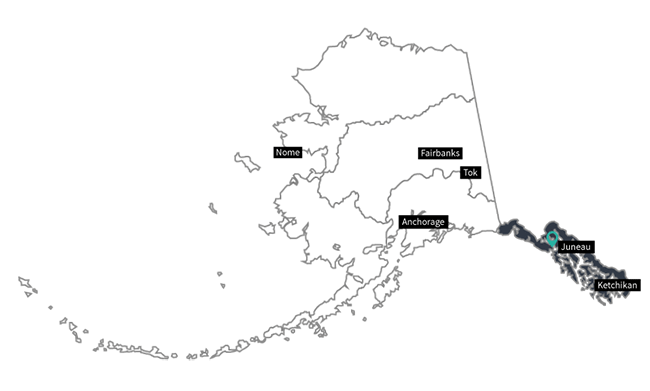
NPS Graphic/ANCH Dude Creek Critical Habitat AreaCities Nearby: Gustavus
The Dude Creek Critical Habitat Area in northern southeast Alaska, adjacent to the community of Gustavus and next door to Glacier Bay National Park, encompasses the largest expanse of undisturbed wet meadow habitat in the region. The area is enjoyed in the fall as a sandhill crane viewing area by residents and visitors alike, while local residents use it for recreation year-round. 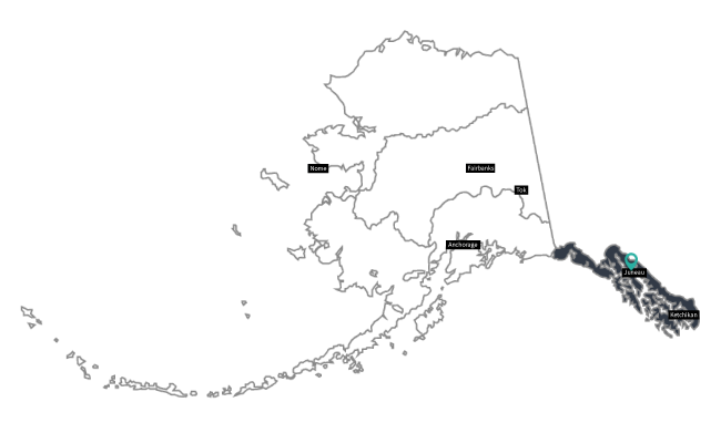
NPS Graphic/ANCH Ernest Gruening State Historical ParkCities Nearby: Juneau
This is the site of the territorial Governor Ernest Gruening’s rustic summer home near Dotson’s Landing/Amalga Harbor. The park is a beautiful setting showing off Alaska’s political and natural history. Territorial Governor Ernest Gruening wrote much of the manifesto for statehood called “The State of Alaska” in 1953 at this site. Today visitors can fish, view wildlife, and walk along interpretive trails. 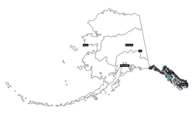
NPS Graphic/ANCH Fort Rousseau Causeway State Historic SiteCities Nearby: Sitka
Located west of the Sitka airport runway, Fort Rousseau Causeway State Historical Park provides a unique opportunity for visitors to discover Sitka’s WWII history. Although undeveloped with no visitor facilities or no land access to the park, a short boat ride or kayak is worth the effort. Visitors to the park can explore numerous WWII features including ammunition magazines, lookouts, gun emplacements, and the headquarters command center. 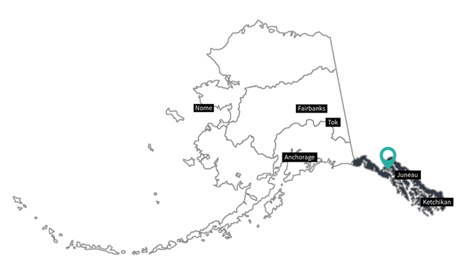
NPS Graphic/ANCH Glacier Bay National Park and PreserveCities Nearby: Gustavus
Covering 3.3 million acres of rugged mountains, dynamic glaciers, temperate rainforest, wild coastlines, and deep sheltered fjords, Glacier Bay National Park and Preserve is a highlight of Alaska's Inside Passage and part of a 25-million acre World Heritage Site—one of the world’s largest protected areas. From sea to summit, Glacier Bay offers limitless opportunities for adventure, inspiration, and awe. 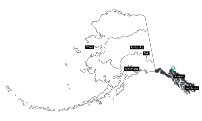
NPS Graphic/ANCH Haines State Forest Resource Management AreaCities Nearby: Haines
Located in a transition zone between the wet coastal climate and the dry, cold Interior, the Forest provides suitable conditions for a diversity of plants and wildlife. The Forest is composed mostly of two forest types; western hemlock/Sitka spruce, and black cottonwood/willow. Backcountry logging roads, rivers, and hiking trails provide access to remote areas and abundant recreational opportunities. 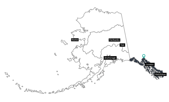
NPS Graphic/ANCH Klondike Gold Rush National Historical ParkCities Nearby: Skagway
Headlines screamed "Gold!" The dream of a better life catapulted thousands of people to Alaska and the Yukon Territory. While their journey shaped them, it also changed the north and it’s people forever. Today, the park welcomes visitors to relive the trails, boomtowns, and stories of the Klondike Gold Rush. 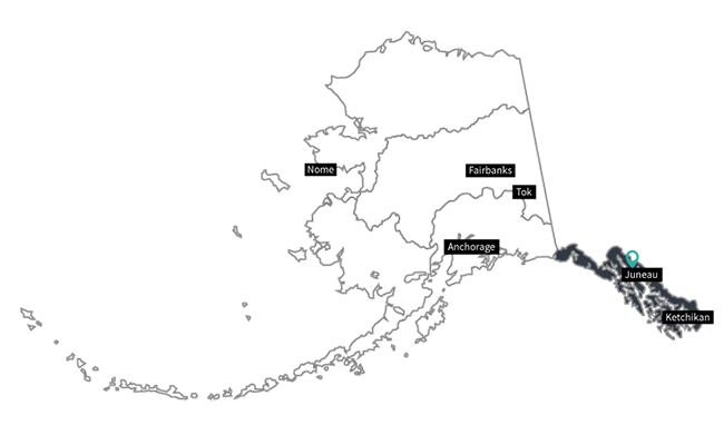
NPS Graphic/ANCH Mendenhall Wetlands State Game RefugeCities Nearby: Juneau
At the Mendenhall Wetlands State Game Refuge, land and sea meet and intermingle in saltwater wetlands. When fresh water flows into this mixture, the result is a diverse habitat that supports varied plant and animal life. The Mendenhall Wetlands State Game Refuge is enjoyed year-round by residents and visitors alike. Waterfowl hunting, hiking, wildlife viewing and photography, boating, fishing, scientific and educational studies, and general sightseeing are popular activities. 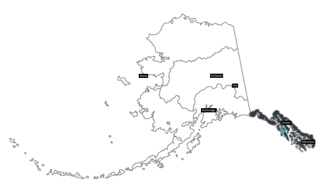
NPS Graphic/ANCH Old Sitka State Historical ParkCities Nearby: Sitka
In the early 1800s, Russians built a settlement at this site along Starrigavan Bay. Today, the site is designated as Old Sitka State Historical Park. Located 7 miles north of downtown Sitka, this park offers a variety of recreational opportunities. This site has been designated as a National Historic Landmark and interpretive panels provide information about the history of this site. A public use boat launch and dock allow boaters to access ocean waters north of Sitka. The Forest Muskegs trail is a 1.25 mile barrier free trail with a self guiding brochure that has information about the natural and cultural history of this area. The Mosquito Cove trail (1.5 miles long) provides an opportunity to hike along Starrigavan Bay and Mosquito Cove in the coastal spruce and hemlock forest. Old Sitka State Historical Park is located within walking distance of the Alaska Marine Highway Ferry Terminal and the US Forest Service Starrigavan Campground. 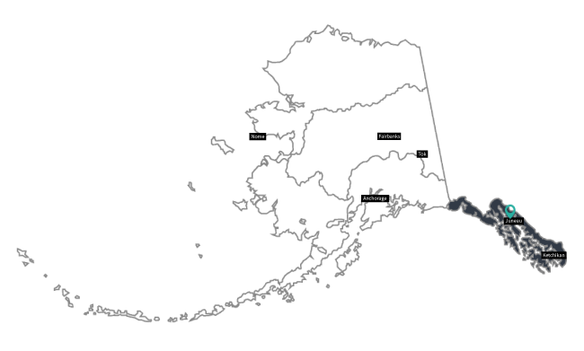
NPS Graphic/ANCH Point Bridget State ParkCities Nearby: Juneau
Created in 1988 by Alaska State Legislature, beautiful 2,850 acre Point Bridget State Park, located forty miles north of Juneau, offers meadows, cliffs, spectacular views, salmon spawning streams, rocky beaches, and the open sea. In the winter, the meadows and open forest allow for excellent skiing and snowshoeing opportunities. There are also public use cabins available to rent. 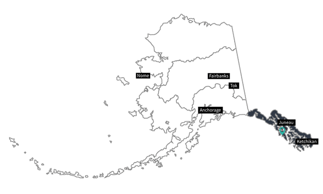
NPS Graphic/ANCH Sitka National Historical ParkCities Nearby: Sitka
On an island amid towering spruce and hemlock, Sitka National Historical Park preserves the site of a battle between invading Russian traders and indigenous Kiks.ádi Tlingit. Park visitors are awed by Tlingit and Haida totem poles standing along the park’s scenic coastal trail, and the restored Russian Bishop’s House speaks of Russia’s little known colonial legacy in North America. 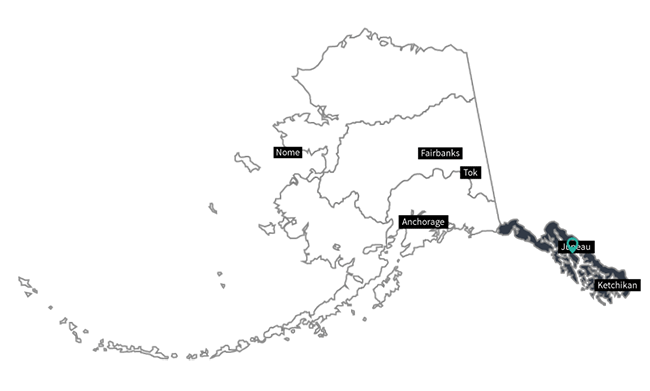
NPS Graphic/ANCH Stan Price State Wildlife SanctuaryCities Nearby: Juneau
Located at the mouth of Pack Creek on the eastern shore of Admiralty Island and about 30 miles south of Juneau, Alaska, Stan Price State Wildlife Sanctuary provides protected habitat for brown bears while affording visitors an opportunity to view and photograph bears close-up. The sanctuary is cooperatively managed by the Alaska Department of Fish & Game and the U.S. Forest Service to provide bear viewing opportunities with minimal impact to brown bears. 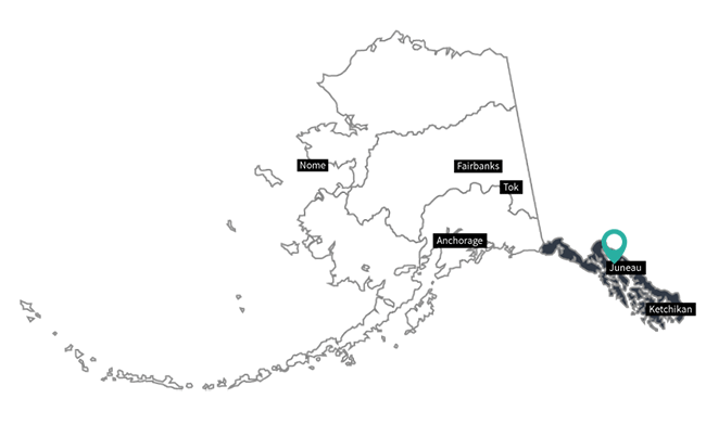
NPS Graphic/ANCH Tongass National ForestCities Nearby: Ketchikan, Petersburg, & Sitka
The Tongass National Forest is the nation's largest national forest. The Tongass covers most of Southeast Alaska surrounding the famous Inside Passage and offers unique chances to view eagles, bears, spawning salmon, and the breath-taking vistas of "wild" Alaska. Take a sled-dog ride on a glacier, hike boardwalk trails, fish in streams or the ocean, or just relax at a remote cabin. 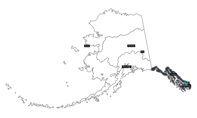
NPS Graphic/ANCH Totem Bight State Historical ParkCities Nearby: Ketchikan
With the growth of non-Native settlements in Southeast Alaska in the early 1900's, and the decline of a barter economy, Natives moved to communities where work was available. The villages and totem poles they left behind were soon overgrown by forests and eroded by weather. In 1938 the U.S. Forest Service began a program aimed at salvaging and reconstructing these large cedar monuments. By using Civilian Conservation Corps (CCC) funds to hire skilled carvers from among the older Natives, two things took place: young artisans learned the art of carving totem poles, and totems which had been left to rot in the woods were either repaired or duplicated. Today there is a Clan House and totem poles that visitors can walk around and learn about. |
Last updated: December 28, 2023
