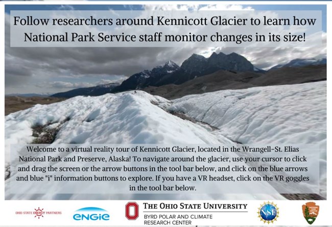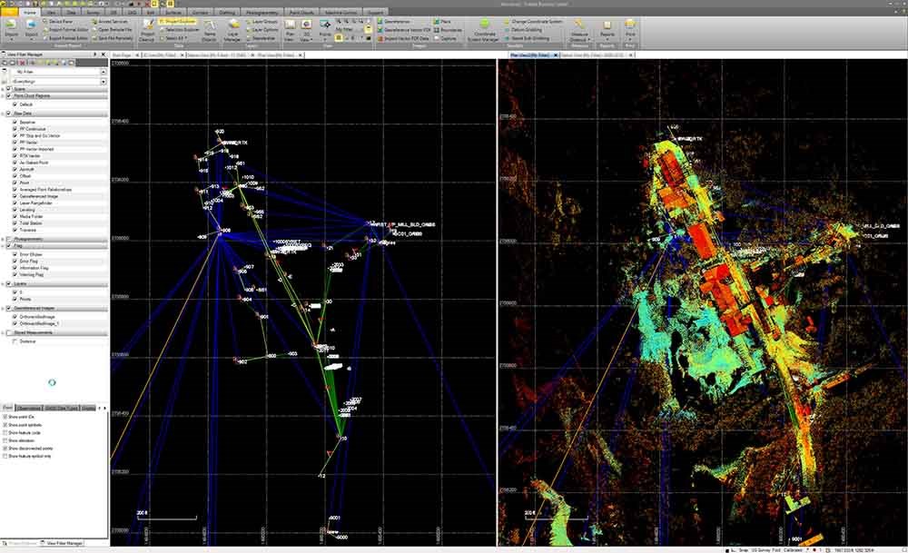
Kennicott Glacier Virtual TourFollow researchers around Kennicott Glacier on an interactive website virtual tour to learn how National Park Service staff monitor changes in the size of the glacier! Explore with the geologists and helicopter pilot at https://virtualice.byrd.osu.edu/Kennicott/ Terrestrial LiDAR Scanning Project at Kennecott Mines National Historic LandmarkTerrestrial LiDAR Scanning Project conducted by Joel Cusick, GIS Specialist from the NPS regional office, August 2017. The 3-D data collected provides precise measurements needed for the Stabilization Project of the mill structures. 
NPS Alaska Park Science Volume 20 Issue 1 - Parks as Proving Grounds ARTICLE:High-definition Laser Scanning for Documenting Cultural Resources, Kennecott Scanning Effort In the fall of 2017, a pilot project was initiated by a multidisciplinary team, in partnership with Trimble, Inc. and local survey company Frontier Precision. The project sought to test the capabilities of two laser scanners at the Kennecott Mines National Historic Landmark (NHL) site, located within Wrangell-St. Elias National Park and Preserve. The NHL includes the Kennecott mill town, a sprawling collection of structures built for the purposes of processing copper ore and sustaining a workforce necessary to accomplish this task in a remote location. Five objectives were set and prioritized for a three-day on-site survey: General survey and scan of (1) the mill building from street level, (2) the upper tram deck, (3) ore chute, (4) interior spaces, (5) and adjacent glacier. The mill site spans nearly 15 acres of complex terrain and provides generally narrow line of sight corridors, which required careful planning by the team to make the most of the time available on site. 
|
Last updated: May 6, 2024
