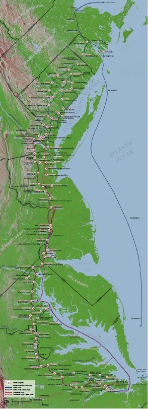
The Washington-Rochambeau Revolutionary Route NHT encompasses over 680 miles of land and water trails through Massachusetts, Rhode Island, Connecticut, New York, New Jersey, Pennsylvania, Delaware, Maryland, Virginia and Washington D.C. We are still in the process of defining the routes, and the maps will be updated as the NHT progresses. Please follow this to the W3R interactive map page. |
Last updated: October 14, 2022
