South Unit Backcountry Trails

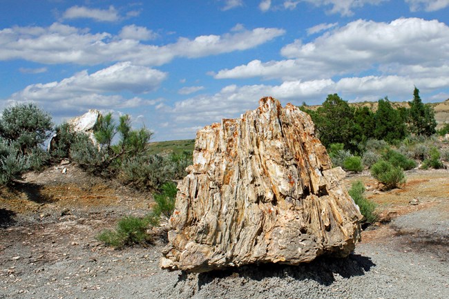
Large slab of petrified wood with trees and blue sky in the background.
Petrified Forest; South Unit, TRNP.

NPS Photo/P. Comas

Petrified Forest

3 mile (5 km); out and back – occasionally steep, remote area


Choose either the North or South Petrified Forest Trail for an approximately3 mile out and back hike to a valley full of exposed petrified tree stumps. Explore around the tree fossils; just remember, take only pictures!
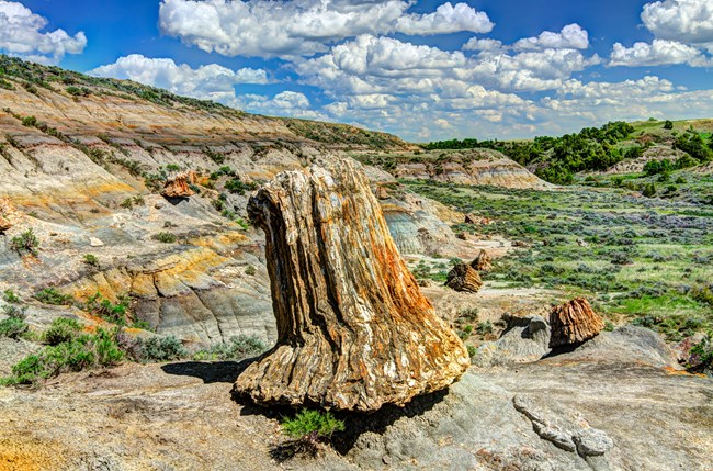
 
Large slab of petrified wood with trees and blue sky in the background.
Petrified Forest Loop; South Unit, TRNP.

NPS Photo/T. Schroeder

Petrified Forest Loop

10.4 mile (16.7 km); loop – steep sections, remote area


Continue beyond the valley of exposed tree fossils and enjoy the entiretyof the Petrified Forest Loop. Most of this route is rolling prairie atop a high plateau; oc-casionally departing from the prairie, becoming more difficult.
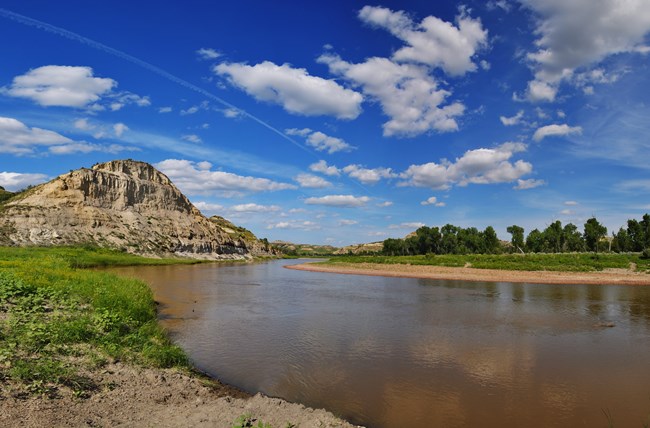
 
Blue sky with clouds and river winding through green grass.
Big Plateau Loop; South Unit, TRNP.

NPS Photo

Big Plateau Loop

5.4 mile (8.7 km); loop – steep terrain, remote area

Prepare for a river crossing (check with Visitor Center for current river depths), but it’s great on a hot day! The trail is somewhat strenuous up the butte forma-tions, once on the Big Plateau, the views are well worth it.
 
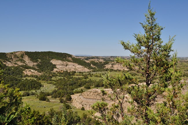
Juniper tree focused in the foreground with rolling hills and trees in the background.
Lone Tree Loop; South Unit, TRNP.

NPS Photo

Lone Tree Loop

9.1 mile (14.6 km); loop – steep terrain, remote area

Add more adventure and miles to the Big Plateau Trail by doing this trail. Taking the Lone Tree Loop, you are guaranteed the peace, solitude, and beauty of the Theodore Roosevelt Wilderness.
 
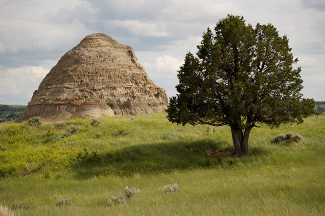
A single tree on green grass and large butte in the background.
Lower Loop; South Unitl, TRNP.

NPS Photo/J. Zylland

Lower Loop

11.4 mile (18.3 km); loop – occasionally steep


Connect four trails to create an adventurous loop; crossing Paddock Creek and Jones Creek several times, hiking on little known trails (CCC and Badlands Spur), and potentially coming across the unique park wildlife.
 
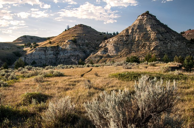
A trail leading through sage and mixed vegetation with buttes in the background.
Upper Loop; South Unit, TRNP.

NPS Photo

Upper Loop

16.4 mile (26.4 km); loop – occasionally steep


Another collection of trails can create an even longer loop if desired. This loop would show a side of the park that most do not discover; venturing through the valley floor to crossing the plateau on the Rim Trail.

Last updated: May 17, 2020

Park footer

Contact Info

Tools