Last updated: April 2, 2021
Thing to Do
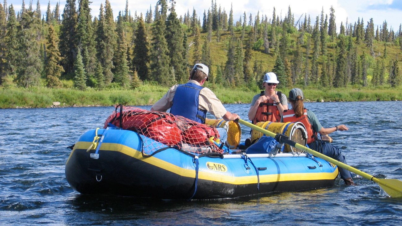
Raft or Kayak the Alagnak River
NPS Photo/R. Wood
Alagnak river flows through a land of captivating landscapes, abundant wildlife, and cultural heritage. Meandering down the river, you may discover a bald eagle perched atop a spruce tree in the boreal forest, gaze at a moose browsing above the river bank in the wet sedge tundra, or perhaps encounter a brown bear feasting upon spawning salmon. In Yup’ik, Alagnak means “making mistakes” or “going the wrong way.” It’s easy to see why. The middle section of river rarely occupies one channel.
On the Alagnak, serenity and wildlife viewing opportunities abound for those lazily floating the river while Class III rapids offer exciting trips for rafters. In order to protect the Alagnak’s freeflowing characteristics, striking scenery, diverse wildlife, and cultural history, the upper 67 miles (108 km) were designated a wild river in 1980 by the Alaska National Interest Lands Conservation Act under the provisions of the 1968 National Wild and Scenic Rivers Act. Alagnak Wild River is part of the National Wild and Scenic Rivers System. The National Park Service manages approximately 83% of the river within the Alagnak Wild River corridor; the remaining 17% of the lands within the corridor are privately owned by Alaska Natives. Please respect the rights and privileges of private land owners.
Rafting
Rafting trips generally begin at Nonvianuk Lake or Kukaklek Lake, both of which are easily accessible via float plane. Rafters should coordinate their pick-up location and date with their transporter and should plan a fly-over of the river to scout for potential hazards and river conditions. There are many river sections suitable for take-out along the lower 30 miles of river. Parties being picked up near the Cutbank (Estrada’s camp) should be aware that this is private property; therefore, rafters should take out downstream or on the opposite side of the river. Please respect all private property along the Alagnak River.
River Conditions
River conditions will vary based on the season, amount of rainfall and temperatures. Generally water levels will be lowest in the spring and will increase as spring rains begin and snowmelt occurs in the high country. Water levels usually peak in July and will normally begin to recede in the fall. The surface of the Alagnak freezes in the winter, but water continues to flow. Frozen overflow creates thin layers of dangerous ice which pose a hazard for those who attempt winter river travel.
Water Levels
Heavy rainstorms and prolonged winds from the east can drive water out of Kukaklek and Nonvianuk Lakes and consequently increase water volume and velocity downstream. During periods of high water, it is possible to float the river in a short amount of time, but the conditions may make it difficult to find suitable camping sites. High water often results in increased turbidity and reduced fishing success, and may also increase the difficulty of the rapids on the upper Alagnak. Low water conditions can make travel difficult due to increased numbers of exposed rocks.
Safety Precautions
Wear Personal Flotation Devices (PFDs) and carry self rescue equipment, including a throw rope. Survival gear and signaling devices are recommended. Extra warm clothing and sleeping bags should be packed in waterproof bags. Know the signs of hypothermia and be familiar with proper treatment techniques.
Details
Activity
Whitewater Rafting
Pets Allowed
Yes
Activity Fee
No
Entrance fees may apply, see Fees & Passes information.
Reservations
No
Accessibility Information
The National Park Service does not maintain any public facilities along the Alagnak River. However, there are several lodges located on private land along the Alagnak Wild River corridor.