Last updated: April 5, 2024
Thing to Do
Hike the Coyote Call/Rabbit Ridge Trail
NPS/L. Ray
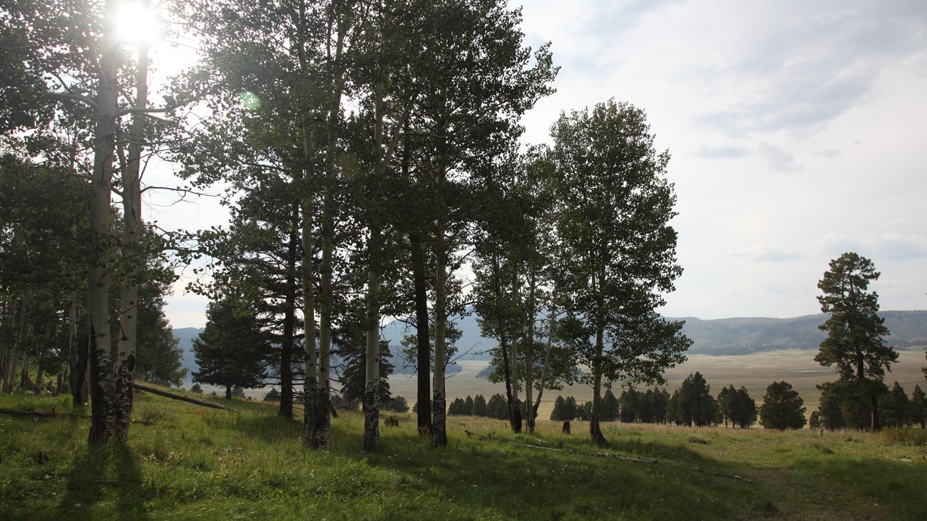
Both the Coyote Call Trail and Rabbit Ridge Extension traverse along the southern rim of the caldera, offering great views of Valle Grande and Redondo Peak.
Coyote Call Loop (2.9 miles, 4.7 km round-trip) is shorter with less elevation gain, passing through meadows and aspen groves, and may be hiked in either direction. The east end of the loop can continue into Bandelier National Monument, where pets are prohibited.
The Rabbit Ridge Extension (2.4 miles, 3.8 km out-and-back) is an optional addition with more elevation and distance, and passes through some burned areas that may be hazardous in high winds.
Elevation: 8,714 - 9,610 feet
Details
Duration
1-2 Hours
Activity
Front-Country Hiking
Pets Allowed
Yes
Activity Fee
No
Entrance fees may apply, see Fees & Passes information.
Location
Coyote Call Trailhead
The Coyote Call Trailhead is near mile marker 41 on the south side of NM-4. There is a paved pull-out adjacent to the trailhead or on the north side of NM-4 opposite the trailhead. Backcountry permit not required. Parking is not suitable for oversized vehicles.
Reservations
No
Season
Year Round
This is one of the few hiking trails that is accessible year-round at Valles Caldera National Preserve.
Time of Day
Day
Accessibility Information
This trail follows old logging routes and traverses steep grades.