Last updated: December 5, 2025
Thing to Do
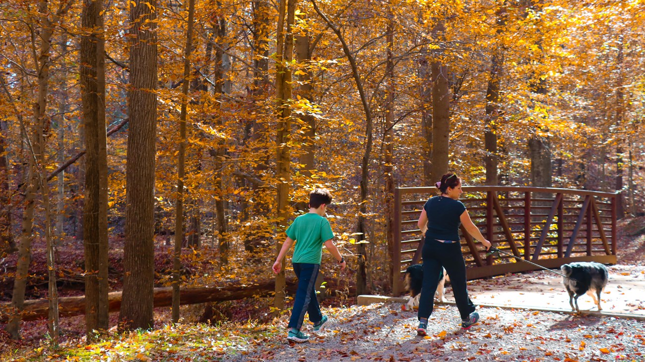
Explore the Trails at Meadowood
BLM Photo
At Meadowood Special Recreation Management Area, managed by the Bureau of Land Management, visitors can enjoy over 15 miles of trails with a variety of uses, like hiking, mountain biking, and horseback riding across 800 acres. Meadowood provides three open meadows, two ponds, and hardwood forest that allows for wildlife, bird, and plant viewing, hunting, fishing, photography, dog walking, and geocaching.
Trailhead: Lower Potomac Field Station Parking Lot
Address: 10406 Gunston Rd, Lorton, VA 22079
Trailhead: Mason Neck Visitor Information Trailhead (Mountain Bike Lot)
Address: 10110 Gunston Rd, Lorton, VA 22079
Trailhead: Giles Run Trailhead
Address: 10207 Old Colchester Rd, Lorton, VA 22079
Trailhead: Meadowood Trailhead
Address: 10324 Belmont Blvd, Lorton, VA 22079
Trailhead: Hidden Pond Trailhead
Address: 10705 Belmont Blvd, Lorton, VA 22079
Trailhead: Mustang Trailhead & Horse Trailer Parking
Address: 10702 Harley Rd, Lorton, VA 22079
An interactive and pdf map of Meadowood Special Recreation Management Area
Details
Duration
1-4 Hours
Activity
Hiking
Pets Allowed
Yes
Activity Fee
No
Entrance fees may apply, see Fees & Passes information.
Location
Lower Potomac Field Station - Meadowood Special Recreation Management Area (SRMA)
Address: 10406 Gunston Rd, Lorton, Virginia 22079
Geographic Coordinates: 38.674964, -77.197411
Directions:
From Interstate 95 South: Exit 163 to Lorton. Turn left onto Lorton Rd, continue under the second overpass and turn right onto Lorton Market St. Continue approximately 1.5 miles to U.S. Route 1. Proceed straight through intersection with Route 1, when the road name changes to Gunston Rd. Continue for 1 mile; the entrance to the Meadowood SRMA is on the right.
From Interstate 95 North: Take exit 161 to Lorton, U.S. Route 1 North. Proceed about 1.5 miles to first stop light. Turn right onto Gunston Rd. Go about 1 mile to find the entrance on right.
Reservations
No
Season
Year Round
Time of Day
Day
Sunrise to Sunset
Accessibility Information
View images of accessibility features
Parking: The site has 6 trailhead parking lots. Three of these lots—the paved lot at the Lower Potomac Field Station, and the gravel lots at the Mustang and Mason Neck trailheads—each provide 1 designated accessible parking spot.
Toilets: There is 1 accessible restroom with flush toilets at the Field Station as well as 1 accessible single vault toilet near the Hidden Pond Trailhead and parking lot.
Sidewalks: A sidewalk connects the parking lot to the restroom and front lobby of the Field Station. At the Mason Neck Trailhead, there is a sidewalk from the parking lot to the nearby information kiosk and trail network.
Picnic areas: At the Field Station, there are four accessible picnic tables with extended tops to accommodate wheelchair users. Two of the other trailheads each have an accessible picnic table: 1 at Mustang Trailhead near Enchanted Pond, and 1 near the Hidden Pond Trailhead near Hidden Pond.
Trails: There are 2 accessible trails. Hidden Pond Trail is a 0.3-mile trail made of a bonded rubber mulch that connects the trailhead to Hidden Pond’s accessible fishing dock. The other trail is called Eagle Trail, which is used by the adjacent Gunston Elementary School and accessed via school property.
Other accessibility features: There are angled interpretive signs along the trail network. In addition, a community garden is located behind the Lower Potomac Field Station and a pollinator garden at Mustang Trailhead. Cell phone service can be spotty throughout the site but is probably best in the parking areas. No potable water is available at the site.

Bureau of Land Management Photo