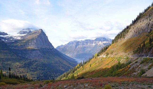
NPS Photo Many parks are known for their scenery so it might not seem like it would take much effort to manage scenery in parks. But for the past 100 years, the National Park Service (NPS) has been working hard to help visitors experience it’s amazing scenic views. Carefully designed and managed roads and trails in parks determine what visitors see and how they see it. Roads like Going-to-the-Sun Road in Glacier National Park in Montana and the Skyline Drive at Shenandoah National Park in Virginia showcase stunning park views while providing access to America’s most treasured landscapes. Maintaining the views from engineered roads and trails is a balancing act of preservation, vegetation trimming, safety, and maintenance. Since many important park views extend beyond park boundaries, the NPS engages in collaborative conservation to protect these shared views. Many parks have had great success in preserving scenic integrity through collaboration with neighbors. For example, Blue Ridge Parkway in North Carolina and Virginia is actively engaged with property owners, counties, and other stakeholders to conserve scenic views around the parkway. Together they developed a neighbor’s guide to the Blue Ridge Parkway – a how to manual for maintaining the beauty and integrity of the scenic drive. The NPS will face new challenges as landscapes continue to change around parks. Making scenery part of comprehensive park planning and management helps the NPS conserve views for the future. This requires understanding the current condition of scenic views through inventory work, as well as, documenting impacts of potential projects through visual impact assessments. In addition, many parks use best practices for projects because park buildings, signs, and other structures can affect scenic views. Learn more about best practices for scenic views in parks. Understanding the potential visual impacts of projects in or near parks is more involved than it may seem. Upon request, NPS Visual Resources Program assists parks in interpreting project proposals, developing comments on environmental documents, and identifying mitigation measures. Photosimulations are an important tool for understanding the potential visual impacts of a project. We developed a guide for reviewing photosimulations to help determine if they were prepared correctly, and of sufficient quality to show what a project might look like. Contact us for park planning and managment resources. |
Last updated: August 14, 2025
