
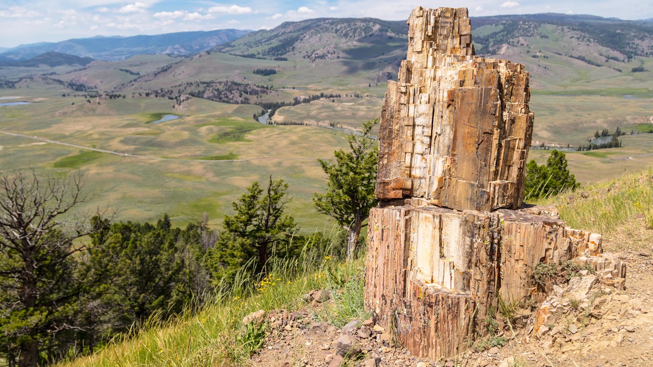
Resource Management using 3D Photogrammetry
Photogrammetry is traditionally associated with aerial stereo-images for viewing and mapping landforms, and has remained an integral part of resource management for decades. Most recently advances in computing power and software have allowed for the development of fast and accurate 3-dimensional (3D) photogrammetric modeling at a range of scales using a method called "structure from motion." Photographs from a digital single reflex lens camera (DSLR) can be utilized to virtually reconstruct an object or scene based on the shift in location of the camera.
3D Models of Park Fossils
Learn how the Smithsonian and NPS are working together to create 3D fossil models!
Photogrammetry Applications and Examples
The Geologic Resources Division (GRD) of the Natural Resources Stewardship and Science Directorate has acquired equipment and software to develop a photogrammetric data program to support parks and regions. This includes technology and training for photogrammetric capture, analysis, and 3D printing, in the resource management areas of protection, research, mitigation, restoration, inventory, monitoring, interpretation, and planning. For more information on photogrammetry techniques and applications, contact us.
Last updated: October 29, 2018