
The inventory program provides information for a variety of resources, from bibliographies to species occurrence and distribution. This baseline is used to inform monitoring efforts, long-term management, and stewardship of natural resources in Alaska’s parklands.
Over two-thirds of the land managed by the National Park Service is in Alaska. Because of the vast landscapes, coupled with extreme weather and short field seasons, a regional management approach has been established for base cartography, soils, and landcover inventory programs. The other nine inventories have been managed at a national level.
12 Basic Inventories
When the Inventory & Monitoring Program started, a set of 12 basic inventories was identified to help us better understand and manage park natural resources. These inventories were point-in-time surveys to learn about the location or condition of certain resources, including the presence, distribution, or status of plants and animals, air, water, soils, landforms, and climate.
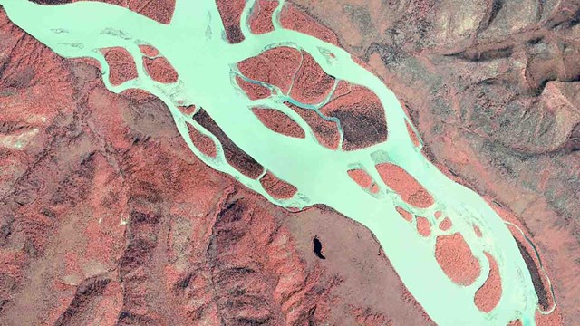
Base Cartography
Imagery of the Yukon River, part of base cartography for Yukon-Charley Rivers National Preserve.
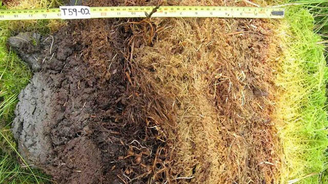
Soil Resources
Soils inventories use soil cores, like this one from Kobuk Valley National Park, to map soil types.
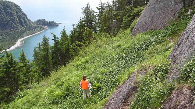
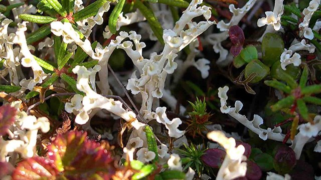
Landcover/Vegetation Mapping
Landcover inventories map vegetation types in Alaska's parks.
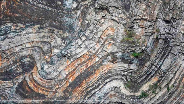
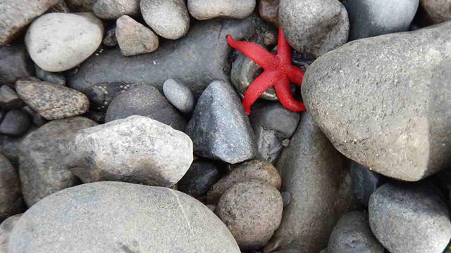
Geologic Resources
Geologic resources are clues to the past and a way to understand the local ecology and physical processes.

Water Body Location and Classification
The National Hydrography Dataset includes lakes, streams, glaciers, and more.
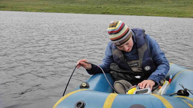
Baseline Water Quality Information
Primary sources of water quality information come from the National Water Quality Information System and STORET.
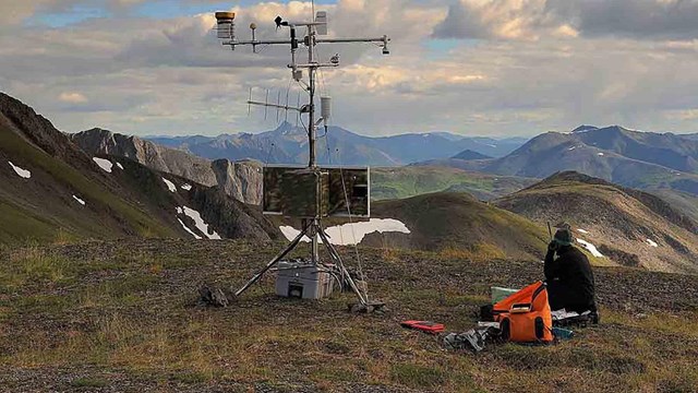
Climate
Climate information is a critical piece to understand resource trends.
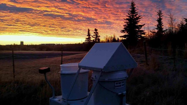
Air Quality Data
Air quality inventories focus on indicator pollutants regulated under the Clean Air Act.
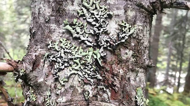
Air Quality Related Values
Some resources are sensitive to air quality, including vegetation, soils, water, and wildlife. This inventory identifies those values.

Species Inventories
Species inventories provide lists of species occurrence in parks.
Species Occurrence and Distribution
Additional inventories have been conducted in some parks for species of particular interest.
Natural Resource Bibliography
This inventory of park natural resource documents is now a Data Store, the main location to find all park natural resource reports.
Source: NPS DataStore Collection 8080. To search for additional information, visit the NPS DataStore.
Last updated: January 4, 2024