
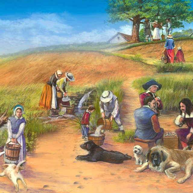
NPS Roger and his companions rowed from Slate Rock around the point of land now called Fox Point and continued up the river to the Great Salt Cove. A Native highway stretched from Massachusetts Bay Colony to New York along the coast. The English named the part of this highway, that ran along the eastern edge of the Cove, Towne Street. On the west side of Towne Street, a freshwater spring emptied into the Cove. Roger built his house across the street from the spring. The Great Salt Cove was a resource used by Native Americans for at least 5,000 years. Every spring, fish swam up the Moshassuck and Woonasquatucket Rivers to spawn. The English claimed the salmon ran so thick at one spot in the river, that they could walk across the river on the backs of the salmon without getting their feet wet. Thousands of ducks and geese stopped there when they migrated for the winter. There were also eels, lobsters, crabs, clams, quahogs, and oysters. 
By giving the land to Roger, the Narragansett now had close access to English trade goods. They now would not have to deal with Boston or Plymouth, whom they trusted far less than Roger. Mary and their two children rejoined Roger in Providence later that year. Learn More
|
Last updated: April 23, 2022