Last updated: September 12, 2024
Place
Yellowstone Gateway Museum

Courtesy U.S. National Parks
Entrance Passes for Sale, Gifts/Souvenirs/Books, Historical/Interpretive Information/Exhibits, Information - Ranger/Staff Member Present, Tactile Exhibit
Lewis and Clark NHT Visitor Centers and Museums
This map shows a range of features associated with the Lewis and Clark National Historic Trail, which commemorates the 1803-1806 Lewis and Clark Expedition. The trail spans a large portion of the North American continent, from the Ohio River in Pittsburgh, Pennsylvania, to the mouth of the Columbia River in Oregon and Washington. The trail is comprised of the historic route of the Lewis and Clark Expedition, an auto tour route, high potential historic sites (shown in black), visitor centers (shown in orange), and pivotal places (shown in green). These features can be selected on the map to reveal additional information. Also shown is a base map displaying state boundaries, cities, rivers, and highways. The map conveys how a significant area of the North American continent was traversed by the Lewis and Clark Expedition and indicates the many places where visitors can learn about their journey and experience the landscape through which they traveled.
The lush landscape and abundant wildlife have drawn people to the Livingston, Montana area for over 11,000 years. On July 3, 1806 at Travelers’ Rest, the captains had divided the Corps of Discovery into two units. Clark would lead his men on an exploration of the Yellowstone River. Lewis was to take the others to the Great Falls via the Blackfoot River and then, with a detail of three men, explore more of the Marias River.
Clark and his contingent returned to Fortunate Camp, emptied the cache, raised the six dugout canoes from their hiding places, and arrived at the Three Forks of the Missouri around noon on July 13, 1806.
At 5:00 pm Clark, with nine men, plus Toussaint Charbonneau, Sacagawea and 15-month-old Jean Baptiste, set a course overland along the east fork of the Gallatin River. On July 15, 1806, the party crossed the mountains separating the Gallatin from the Yellowstone drainages and descended a slope on “a well beaten buffalow road” toward the Yellowstone River. The Yellowstone flows north out of a mountain-bounded valley between low spurs of the Gallatin and Absaroka Ranges which Clark described as “rugged and covered with Snows.” The group struck the river, “wide, bold, rapid and deep,” at the bend in present-day Livingston, Montana. From where Clark stood, the fertile river basin now called Paradise Valley was hidden from his view, and the party pressed on downstream.
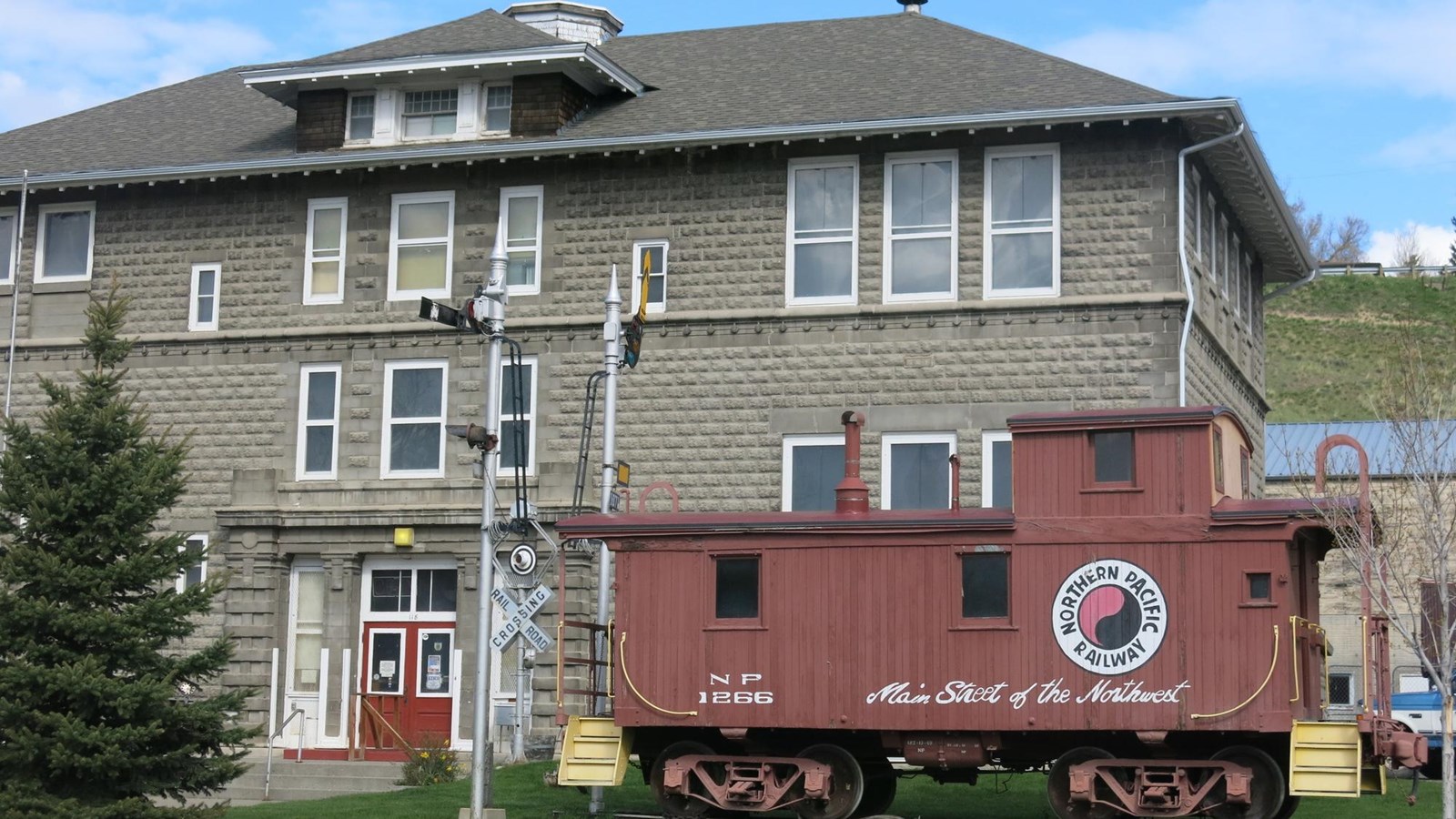
Today, the Yellowstone Gateway Museum commemorates not only the Lewis and Clark Expedition, but also the local history, wildlife, and geology. It was founded in 1977 by collaboration between Park County and a group of citizens. Together, they purchased the North Side School, itself a historic landmark built in 1906, as the home of the museum. The museum houses an enormous collection of artifacts, some of which are more than 12,000years old! Permanent exhibits explore the relationship between regional history and the establishment of Yellowstone, America’s first national park, on 1 March 1872. The Expedition room details the geology of the region and includes an interactive station where visitors can dress up in the traditional garb of the Corps of Discovery. Kids will enjoy using the explorer’s journal to document their visit through the indoor exhibits and outdoor experiences among them a one-room schoolhouse, blacksmith shop, and train caboose.
For more information and operating hours, call the museum at (406) 222-4184 or visit https://yellowstonegatewaymuseum.org/.
