Last updated: January 16, 2025
Place
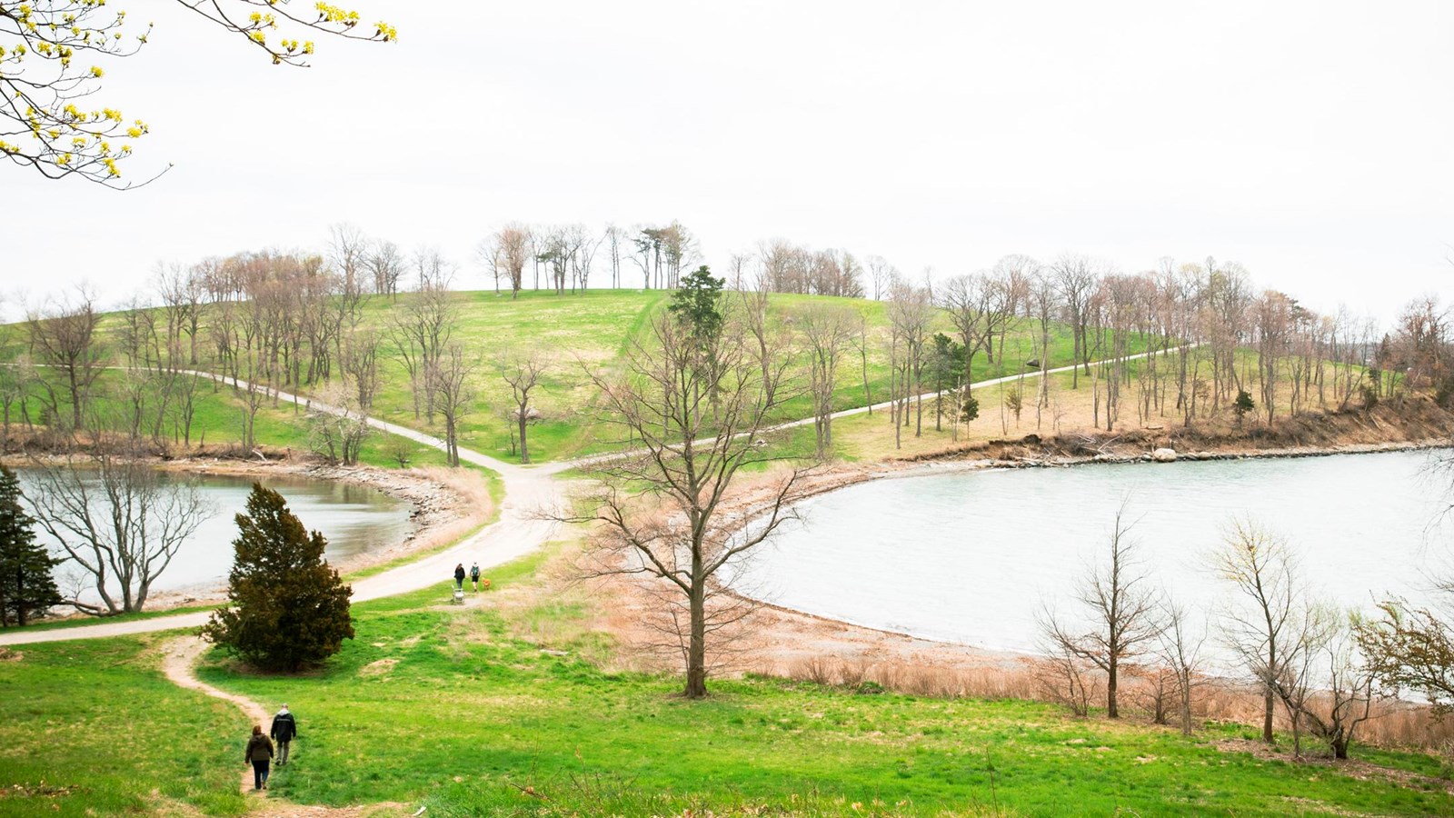
World's End
NPS Photo Matt Teuten
Quick Facts
Location:
Hingham, MA
Significance:
Olmsted Designed Landscape
MANAGED BY:
One of the five peninsulas that are designated a part of the Boston Harbor Islands National and State Park, the former island called World's End boasts more than 250 acres, and four drumlins. World's End is home to one of the highest points in the harbor and offers excellent views of Boston and the south shore.
Similar to other islands in the harbor, Indigenous communities used World's End seasonally for thousands of years before European colonization. According to European sources, the town of Hingham deeded the land from the Wompatuck, Squmuck, and Ahahden in 1662 in return for a "valuable consideration." Colonists used the island for farming and grazing animals. Around that same time, colonists created a causeway, called "the bar," which connected two of the outermost drumlins to the mainland.1
In 1855, John R. Brewer purchased a 10-acre parcel of land. Brewer began construction on the land immediately, erecting a caretaker's cottage the same year. The following year, construction on the main house began. In 1859, Brewer hired a "landscape gardener" who cut down many of the cedar trees and replaced them with ornamental trees and flowers.
Brewer purchased both Langlee and Sarah Islands, and he continued to purchase land on World's End until he owned all but two parcels of land. He established a family farm with plenty of space for crops and pasturage. In 1886, Brewer hired Frederick Law Olmsted to subdivide the plots into a redevelopment that would be called "World's End." Olmsted mapped out roads, and created 163 lots. Although Brewer followed Olmstead's plans of tree-lined roads and groves, he never subdivided the lots. Brewer died in 1893, and left the estate to his children. By 1900, the estate included a creamery, a blacksmith shop, lodging for workers, greenhouses, and windmills.
In 1936, Brewer's youngest daughter, Fanny Brewer, died. Farming operations ceased, though employees continued to care for the land. In the 1940s the military put a searchlight on one of the drumlins.2 The Trustees of Reservation purchased the peninsula in 1967 and eventually the peninsula became a part of the Boston Harbor Islands National and State Park. Today, the island is still owned and operated by the Trustees of Reservation. The peninsula is open to the public, and has 4.5 miles of tree lined paths.3
Learn More...
Footnotes
- Olmsted Center for Landscape Preservation, Cultural Landscape Report: Boston Harbor Islands National & State Park, Volume 2: Existing Conditions (Boston: National Park Service, 2017) 275-278; Olmsted Center for Landscape Preservation, Cultural Landscape Report: Boston Harbor Islands National & State Park, Volume 1: Historical Overview (Boston: National Park Service, 2017), 29.
- Olmsted Center for Landscape Preservation, Cultural Landscape Report: Boston Harbor Islands National & State Park, Volume 1: Historical Overview (Boston: National Park Service, 2017), 31-34,187-188; Olmsted Center for Landscape Preservation, Cultural Landscape Report: Boston Harbor Islands National & State Park, Volume 2: Existing Conditions (Boston: National Park Service, 2017), 275-278.
- Olmsted Center for Landscape Preservation, Cultural Landscape Report: Boston Harbor Islands National & State Park, Volume 1: Historical Overview (Boston: National Park Service, 2017), 192; The Trustees of Reservations, "World’s End," Accessed April 6, 2023, World's End, Hingham, MA - The Trustees of Reservations.