Last updated: January 22, 2021
Place
Winter Sports at Lolo Pass
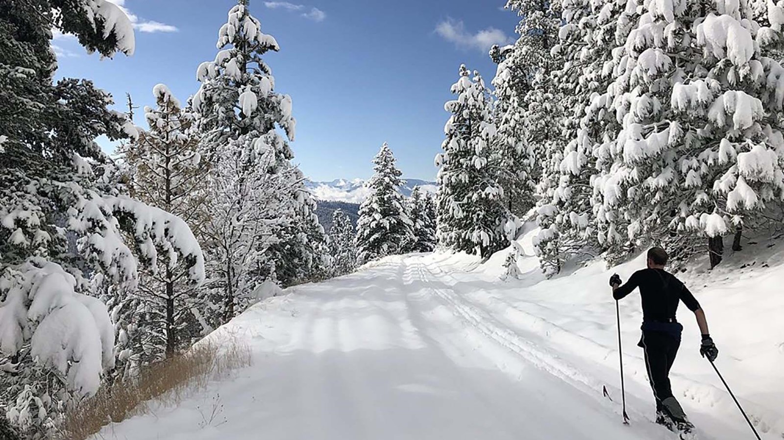
A snow-covered road surrounded on both sides by trees covered in snow.
Quick Facts
Location:
21200 Hwy 12 West Lolo, MT 59847
Amenities
13 listed
Entrance Passes For Sale, Historical/Interpretive Information/Exhibits, Information, Information - Ranger/Staff Member Present, Information Kiosk/Bulletin Board, Parking - Auto, Parking - Boat Trailer, Parking - Bus/RV, Permits Issued, Picnic Table, Restroom, Scenic View/Photo Spot, Trailhead
Lewis and Clark NHT Visitor Centers and Museums
This map shows a range of features associated with the Lewis and Clark National Historic Trail, which commemorates the 1803-1806 Lewis and Clark Expedition. The trail spans a large portion of the North American continent, from the Ohio River in Pittsburgh, Pennsylvania, to the mouth of the Columbia River in Oregon and Washington. The trail is comprised of the historic route of the Lewis and Clark Expedition, an auto tour route, high potential historic sites (shown in black), visitor centers (shown in orange), and pivotal places (shown in green). These features can be selected on the map to reveal additional information. Also shown is a base map displaying state boundaries, cities, rivers, and highways. The map conveys how a significant area of the North American continent was traversed by the Lewis and Clark Expedition and indicates the many places where visitors can learn about their journey and experience the landscape through which they traveled.
The area is also great for snowmobiling, snowshoeing, sledding, and tubing (just not on the groomed ski trails). Activities are free, but there is a daily or seasonal parking permit required. Parking can be crowded, especially on weekends and holidays.
For current information, go to: https://www.facebook.com/Discover-Your-Northwest-Lolo-Pass-Visitor-Center-278605048836443/?ref=page_internal