Last updated: October 10, 2024
Place
Wild Goose Island: Ice Age Glaciers

Quick Facts
Amenities
2 listed
Parking - Auto, Scenic View/Photo Spot
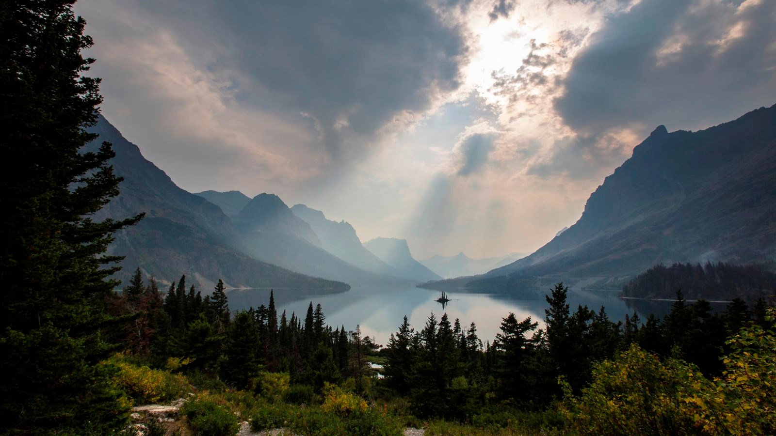
Wild Goose Island is one of the most photographed scenes in Glacier. The tiny island, rising only 14 feet (4 m) above the surface of St. Mary Lake, is surrounded by towering mountains. Views like this in the St. Mary Valley and many other areas in the park are evidence of ancient glaciation.
Over the past two million years, the Ice Age, or Pleistocene Epoch, saw large ice sheets repeatedly advance and retreat throughout North America. During the ice advances, the lower-elevation valleys were filled with glaciers and only the very tops of the higher mountain peaks were visible. Rivers of ice would glide throughout the mountains, sculpting them into a variety of landforms including the U-shaped valleys and jagged peaks we see today. In the area that would become Glacier National Park, the Ice Age ended about 10,000 years ago, and ice retreated from the area.
Glaciers are masses of ice so large they flow under their own weight. Like any other form of water, a glacier will follow the most direct course downhill, often flowing in areas previously filled by a river or stream. When a river erodes a valley into the mountains, it cuts a V-shaped profile. In contrast, a glacier scours valleys into a U-shape, broad at the base and sheer on the sides. Often, when the glacier retreats, it leaves behind a long, deep lake, like what you see as you gaze up the St. Mary Valley.
