Last updated: July 28, 2022
Place
White Bird Battlefield

NPS
Information, Parking - Auto, Toilet - Vault/Composting, Trailhead
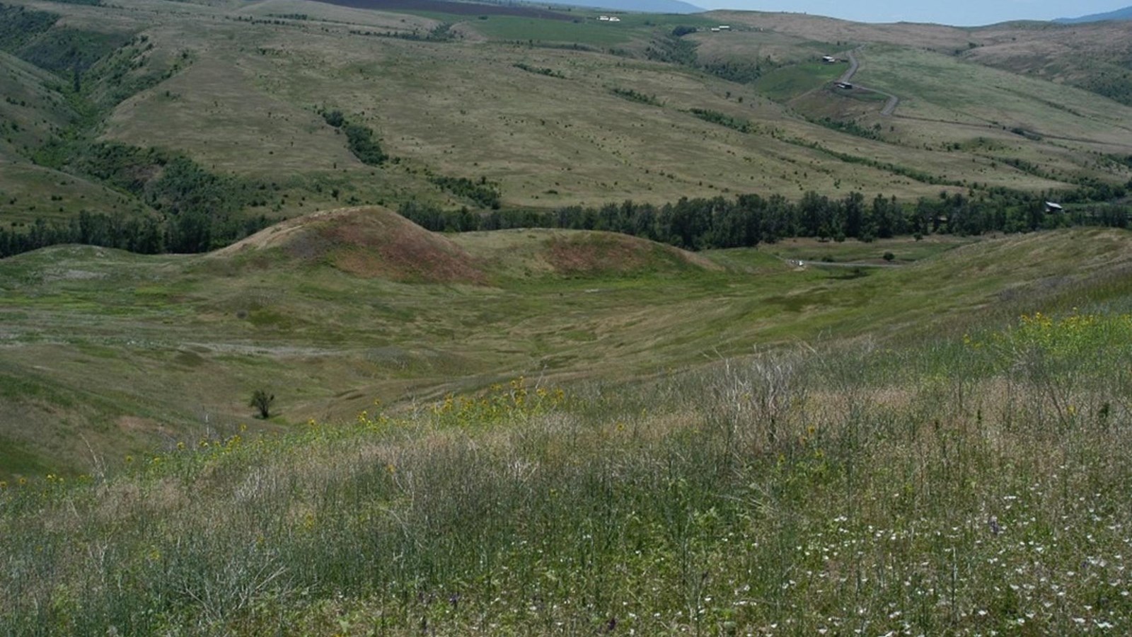
White Bird Battlefield is the location of the first battle of the Nez Perce Flight of 1877. On June 17, 1877, Captain David Perry and his troops moved into the canyon to strike the native encampment. However, they encountered a peace party of six Nez Perce riding towards them. A civilian shot twice at the peace party and the battle began. The U.S. cavalry was defeated with heavy losses and the Nimiipuu began their long journey to find safety and sanctuary.
Getting to White Bird Battlefield
The battlefield is about 15 miles south of Grangeville, Idaho between US Highway 95 and the old Whitebird Grade, approximately 0.5 miles from the town of Whitebird, Idaho.
Location
Battlefield Physical Address:
3823 Two Moon Trail
Whitebird, ID 83554
Driving to White Bird Battlefield
-
For the White Bird Overlook: From Grangeville, ID, head south on U.S. Highway 95 South for 12.7 miles to the turnout and the White Bird Overlook. The overlook shelter will be on your left as you head down the White Bird Grade.
-
For the White Bird Battlefield Trailhead: From the White Bird Overlook, continue south on U.S. Highway 95 South for 3.5 miles and turn left toward White Bird Road. In 0.4 miles turn right onto River Road and continue for 2 miles to the White Bird Battlefield Trailhead.
Things to Do at White Bird Battlefield
Explore the Battlefield
An interpretive shelter at a large pullout along U.S. Highway 95 South above the battlefield has signs that describe the battle. Visitors can also learn about the battle on a self-guided hike using a 12-page trail booklet. The trailhead is on River Road at the bottom of the battlefield.
